

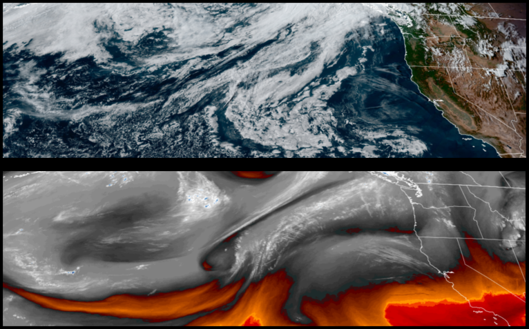
A more stable air mass is forecast to keep skies mostly clear and temperatures warm as the low pressure system that produced more than 2 inches of precipitation in some areas with wind and thunderstorms moves off to the east.
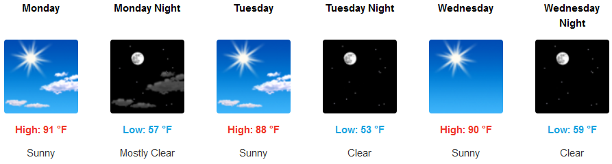
Inland areas can expect sunny skies to start the work week with mildly warm temperatures into mid week, before temperatures begin to move back to seasonal normal ranges. Afternoon highs will be in the mid to upper 80’s, warming as the week progresses with lows in the low to mid 50’s.
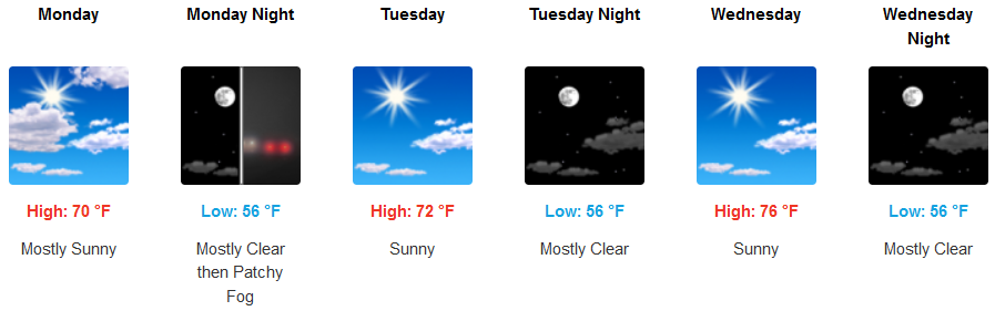
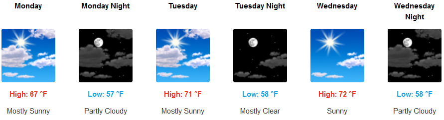
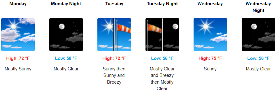
Coastal areas are forecast to see morning fog in the usual locations with a minimal marine layer along the coast clearing to mostly sunny skies in the morning with possibility of breezy conditions reaching up to 15 mph in the afternoons. Highs should be in the upper 60’s to low 70’s with morning lows in the mid 50’s.
Brookings:
Crescent City:
Gold Beach:
Cave Junction:
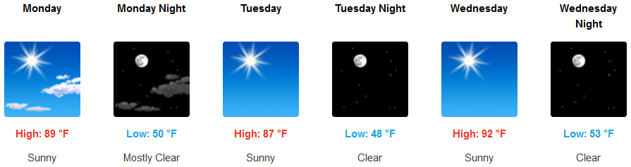
Grants Pass:
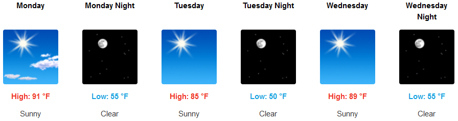
Medford: