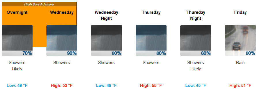
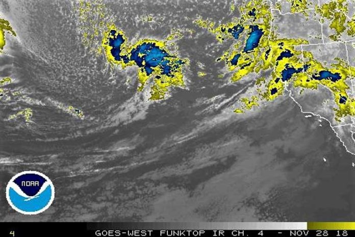
A wet, active pattern will continue for the area over the next few days across the Pacific Northwest, and northern California as a deep atmospheric area of moisture from the Pacific and colder temperatures continue to cross the West Coast and well inland. The heaviest rainfall is expected to occur in southwest Oregon, as well as northern and central California.
Brookings:

Medford:

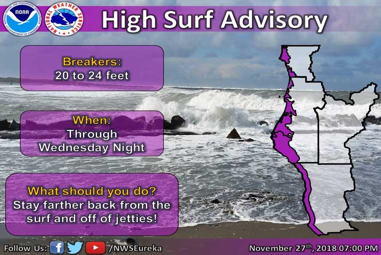
High surf will continue along southwest Oregon and northwest California coast with 20 to 24-foot breakers forecast.

Breaker heights will increase tonight and then continue through Wednesday night with westerly beaches seeing the largest waves. Large surf is turbulent and dangerous so beachgoers should stay farther back from the surf and off of jetties or rocks. Enjoy from a distance!
Please Like, Share and Follow the …


