

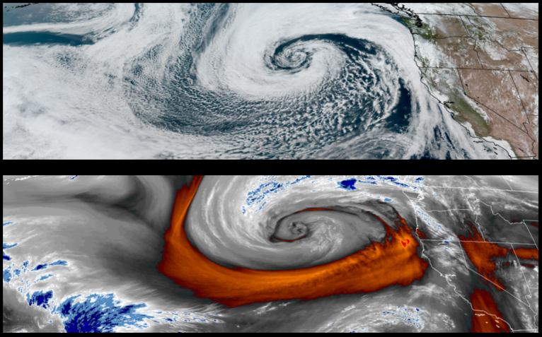
A large weather system and possible ‘cyclone’ is circulating off the coast and is expected to begin to affect the area with rain ahead of the system beginning late Wednesday and continuing through the weekend with the possibility of heavy rain and strong winds Thursday.
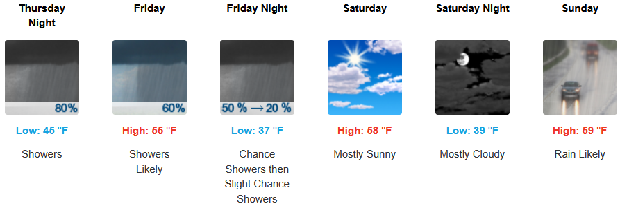
Inland areas are expected to wake up to showers and a south wind gusting up to 18 mph continuing into the weekend with a slight break Saturday. Early morning lows are expected to be in the mtd 40’s falling to the mid to upper 30’s with highs likely reaching the mid to upper 50’s.
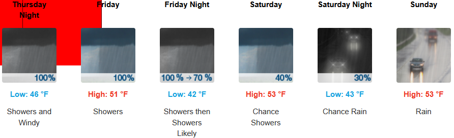
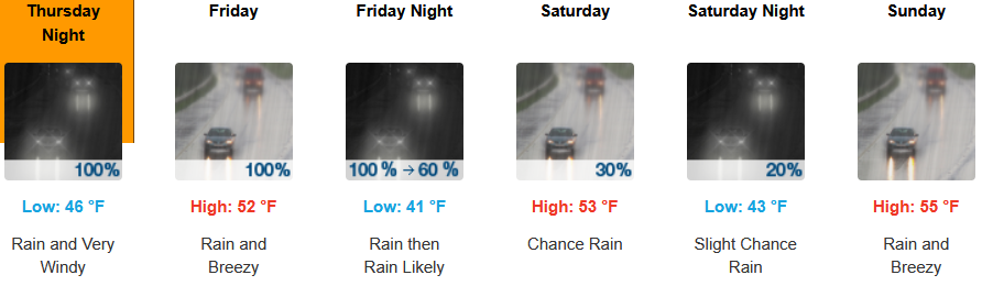
Along the coast, rain, heavy at times, beginning late Wednesday is forecast to continue into and through the weekend with strong winds gusting up to 30 mph into Friday. Temperatures are forecast to consistently be in the low 50’s for afternoon highs with morning lows cooling to the low to mid 40’s.
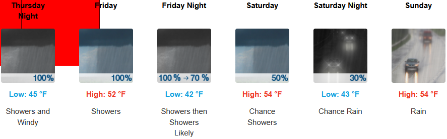
Brookings:
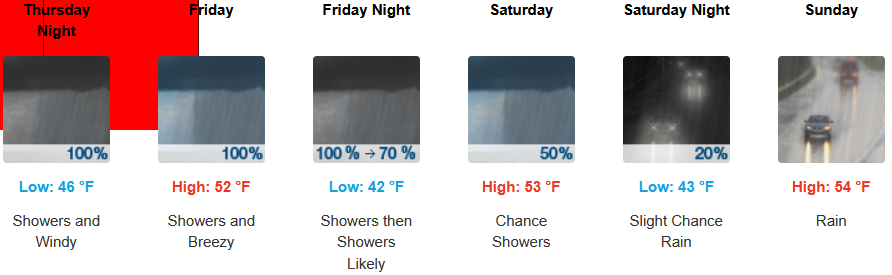
Crescent City:
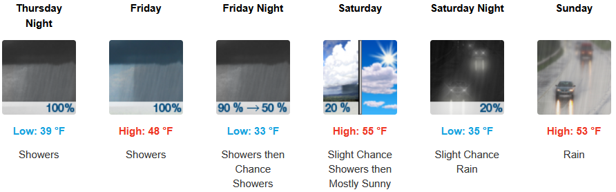
Gold Beach:
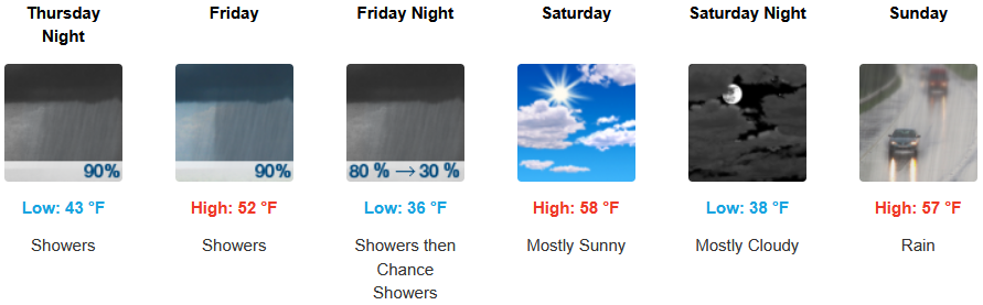
Port Orford:
Cave Junction:
Grants Pass:
Medford: