

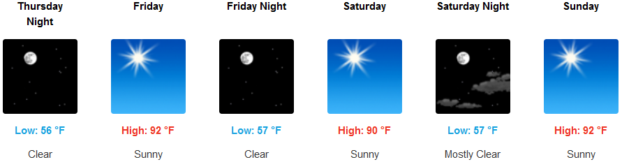
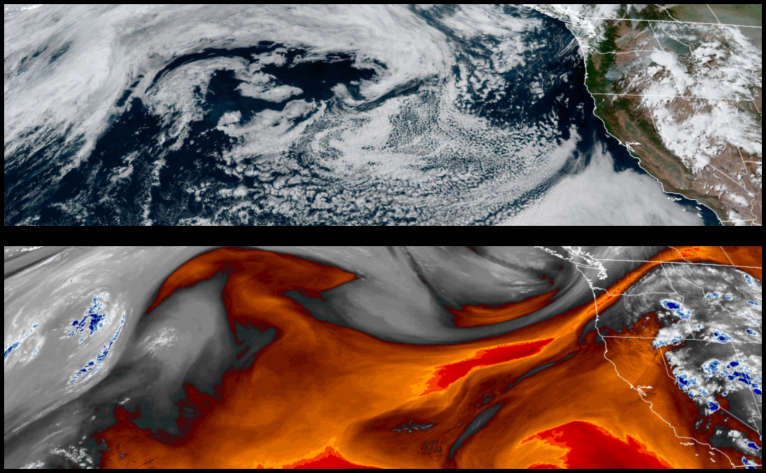
A northern Pacific cold front will begin to push down into the region to end the work week, pushing the dome of high pressure responsible for the high temperatures to the east, allowing cooler temperatures under clear skies to prevail through the weekend.
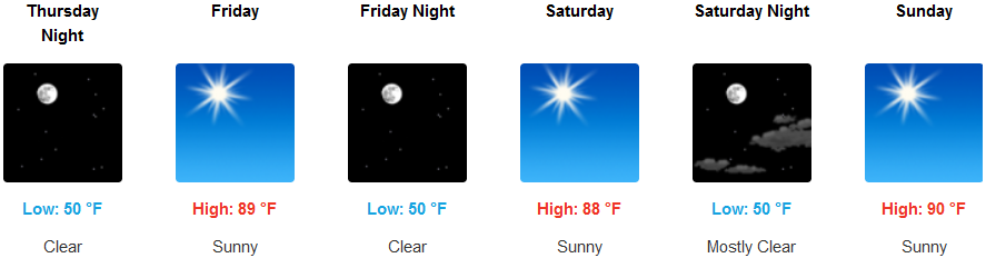
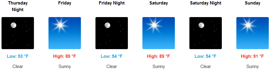
Clear skies and cooler temperatures are forecast to dominate interior regions through the weekend with a slight northwest wind pushing hazy skies out of southwestern Oregon regions through the weekend. Afternoon highs are expected to be in the upper 90’s with relief in the evening as lows dip into the low 50’s.
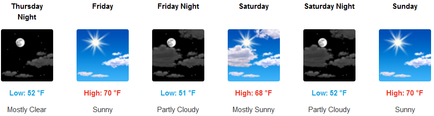
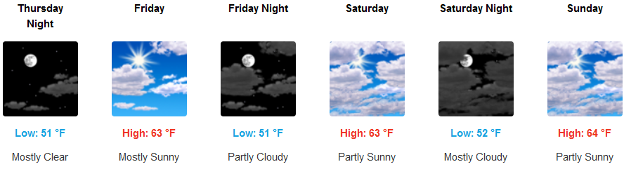
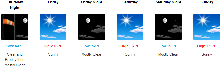
Along the coast, partly cloudy to mostly clear skies are forecast as the weak Pacific coldfront drops down from the Pacific Northwest and onshore into the weekend. High temperatures will again stay relatively low as an afternoon 5 to 12 mph northwind keeps temperatures in the upper 60’s to low 70’s.
Brookings:
Crescent City:
Gold Beach:
Cave Junction:
Grants Pass:
Medford: