

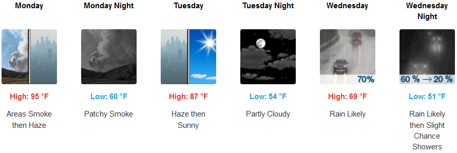
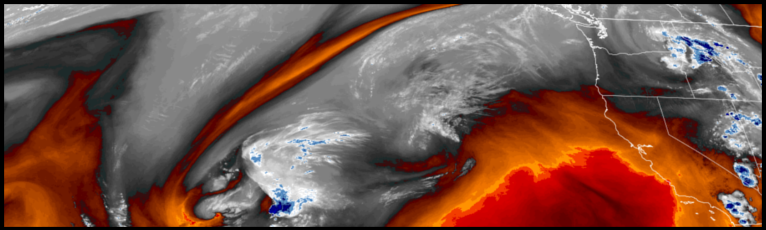
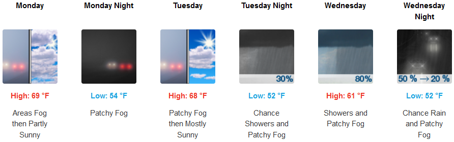
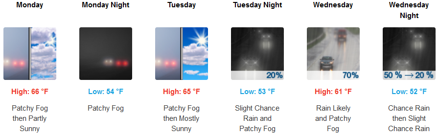
The upper level ridge that brought the recent round of warm temperatures through the weekend, is forecast to begin weakening and moving out of the region as the work week begins, ushering in cooler temperatures and a significant chance for more unseasonable precipitation mid-week.
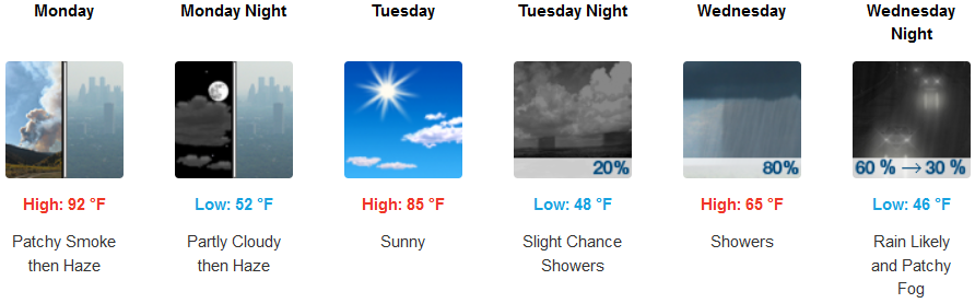
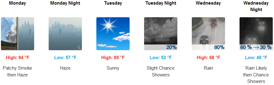
Haze, under mostly sunny skies are forecast for inland areas to start the work week, before an unstable air mass moves into the region bringing cloudy skies and the probability of rain Wednesday. Afternoon highs are expected to be in the mid 90’s Monday, dropping to the upper 60’s for highs mid week.
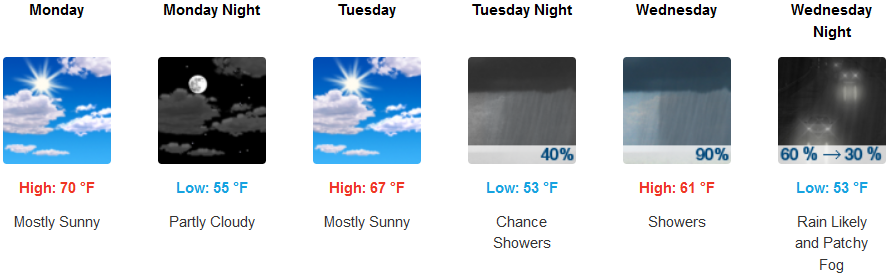
Along the coast, morning fog in the usual places under mostly sunny skies are expected to start the work week, becoming mostly cloudy with chances of rain as early as late Tuesday. High temperatures are expected be in the low 70’s on Monday, falling to the low 60’s by Wednesday, with morning lows in the mid 50’s.
Brookings:
Crescent City:
Gold Beach:
Cave Junction:
Grants Pass:
Medford: