

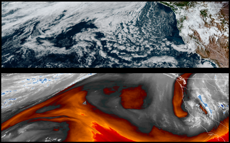
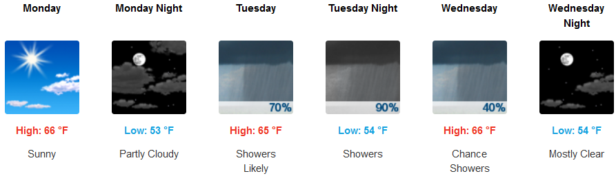
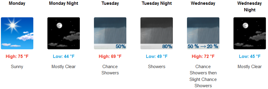
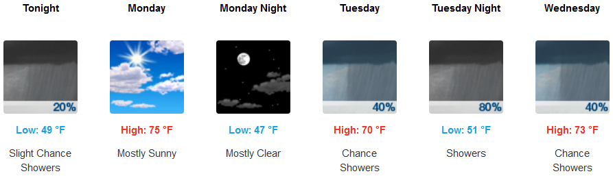
Low pressure moving onshore in central California after circulating off the coast over the weekend, will continue to rotate unstable air into the region from the east, producing isolated pockets of precipitation throughout southwest Oregon and northern California into midweek.
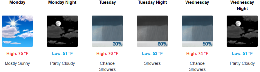
Inland areas are forecast to see mostly sunny skies Monday, with patchy fog into early Tuesday morning before increasing clouds Tuesday evening bring showers into Wednesday morning. Afternoon highs are expected to be in the low to mid 70’s, with morning lows in the lower 50’s.
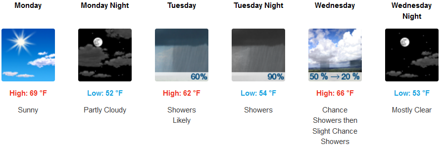
A northwest wind up to 20 mph is expected under mostly sunny skies along the southern Oregon and northern California coast to start the work week, before clouds begin to accumulate bringing a significant chance of precipitation into Wednesday morning. Temperatures are expected to in the upper 60’s for highs, with morning lows in the mid to low 50’s.
Brookings:
Crescent City:
Gold Beach:
Cave Junction:
Grants Pass:
Medford: