

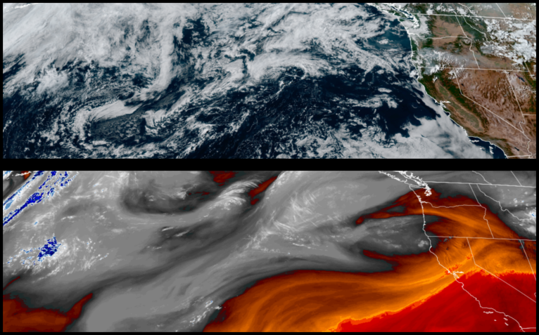
Thunderstorms and precipitation have made their way into the forecast as a low pressure system begins to move into the region, bringing significantly cooler temperatures and the possibility of rain increasing as the weekend progresses.
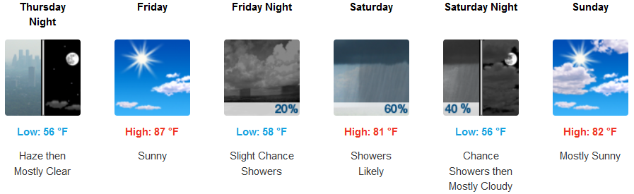
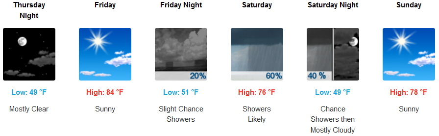
As this low pressure system moves onshore, inland areas can expect hazy skies from regional forest fires and thunderstorms through Thursday with the best chances of rain Saturday and Sunday. Temperatures will be much cooler with afternoon highs only getting to the low to mid 80’s through the weekend.
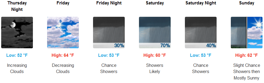
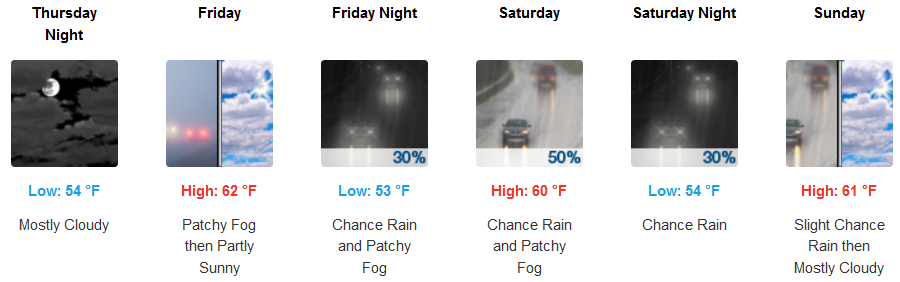
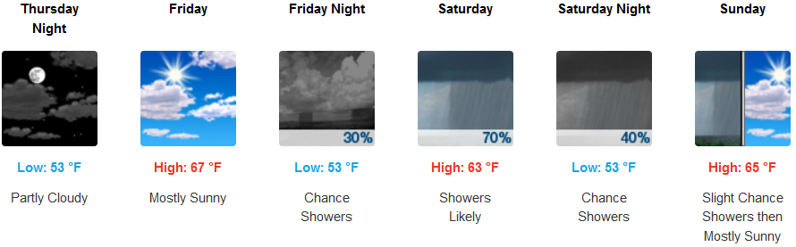
Along the coast, mostly cloudy skies are forecast to end the work week with significant chances for precipitation as early as Friday and continuing into Sunday. Afternoon highs will only break the mid 60’s in most areas with morning lows staying in the low to mid 50’s.
Brookings:
Crescent City:
Gold Beach:
Cave Junction:
Grants Pass:
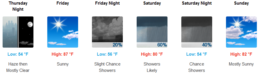
Medford: