

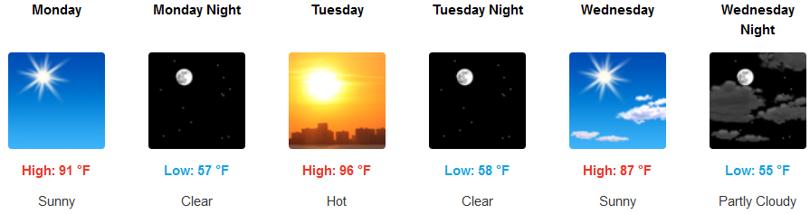
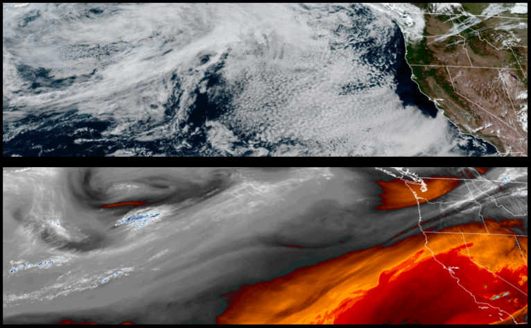
High pressure has built off the coast and the upper level trough has moved to the east and with it seasonal weather changes have begun as high temperatures, gusty winds and low humidities have contributed to a number of wildfires prompting the National Weather Service to issue Red Flag Warnings east of Medford.
Inland areas will continue to see mostly clear skies and relatively warm temperatures into the work week with the highest temperatures early in the week as unstable weather begins to move in and bring partly cloudy skies and cooler temperatures mid week. High temperatures will be warmest early in the week getting into the mid to upper 90’s before cooling to the upper 80’s by mid week.
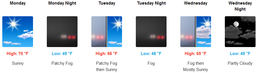
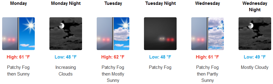
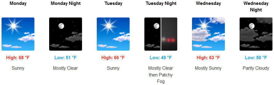
Early morning fog and a thin marine layer will continue along the coast, burning off by mid morning under mostly clear skies. High temperatures will stay relatively mild, but warm for the coast in the low 70’s to start the work week, before cooling under partly cloudy skies to the mid to upper 60’s mid week.
Brookings:
Crescent City:
Gold Beach:
Cave Junction:
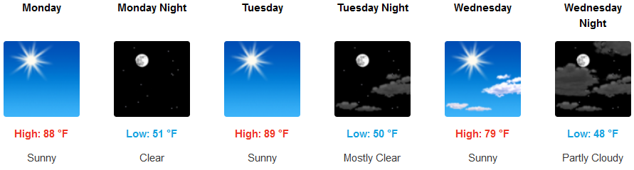
Grants Pass:
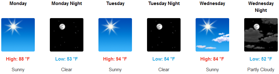
Medford: