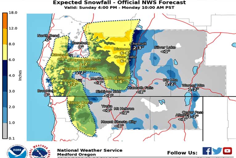
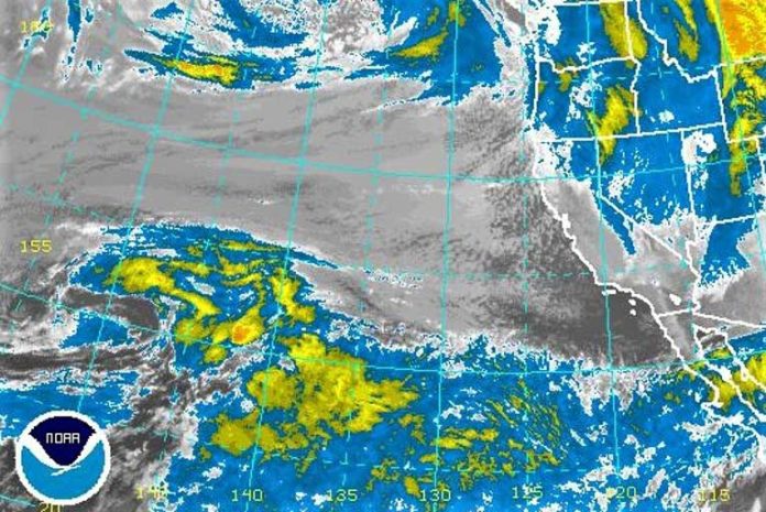
The next system will move through the area late Sunday night into Monday, bringing another round of moderate to heavy snow, especially in the Cascades. This system will be slightly warmer, bringing snow levels up to around 2500 – 3000 feet by late Monday morning.
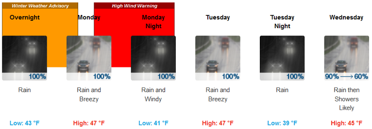
Brookings:

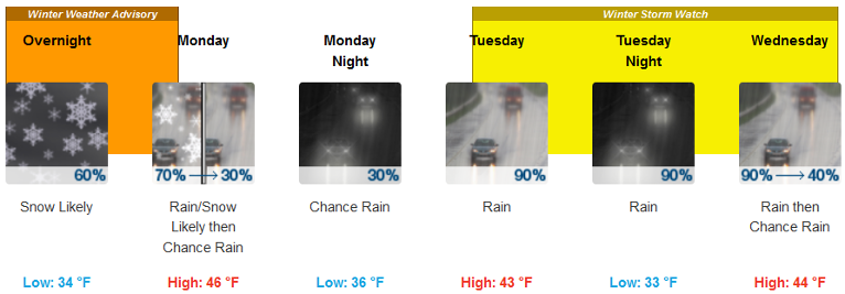
Medford:

In the meantime, snow levels are expected to hover at around 1000 feet, so valley floors at or below that elevation could see another round of light snow through Monday morning. However, there will be less precipitation, so accumulations will be less overall for valleys. In the more narrow valleys (Illinois, Applegate, Evans) it could take longer for the cold air to scour out, so it may take longer for snow to transition to rain for those areas Monday morning. More active weather is expected Monday night into Wednesday so stay tuned to the forecast.

Another strong storm will affect the region late Monday into Wednesday. There will be a significant amount of moisture with this storm, but snow levels will be slightly higher than what they have been, hovering around 2500 – 3000 feet. This will mean heavy rain for low elevations and significant amounts of snow for elevations above 2500 feet. In addition to heavy rain/snow, strong winds will be thrown in the mix beginning Monday afternoon.
Please Like, Share and Follow the …


