

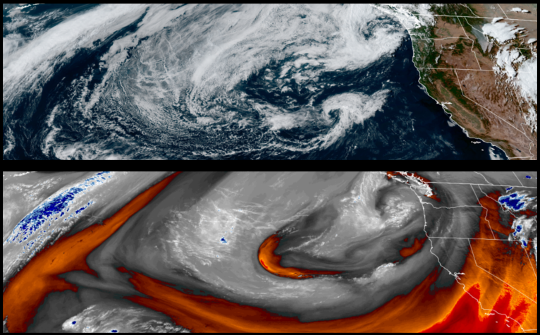
The slow moving cold front responsible for the past weekends precipitation is forecast to remain into the workweek, however, skies should be mostly partly cloudy with low possibilities of more moisture while keeping temperatures in the region 5 to 15 degrees below average along with some rain.
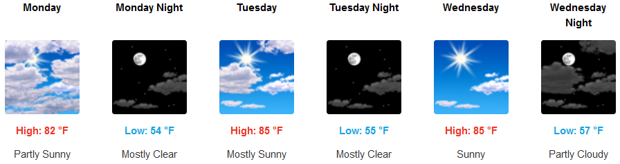
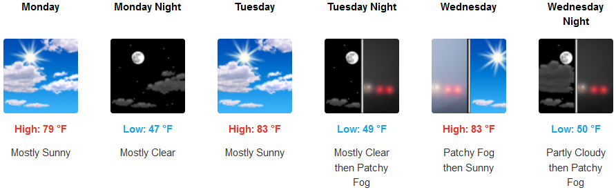
Inland areas are expected to see mostly clear to partly cloudy skies with the possibility of localized pockets of precipitation as the unstable air-mass slowly moves to the east. Afternoon highs are forecast to be in the low to mid 80’s into mid-week with lows in the low 40’s.
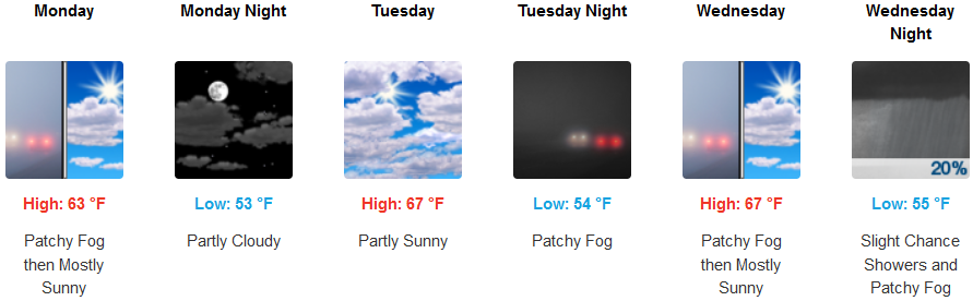
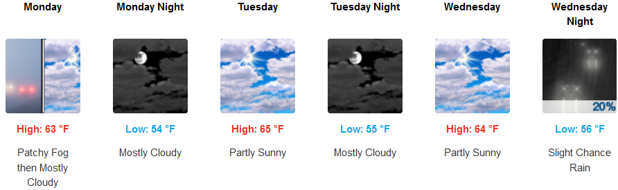
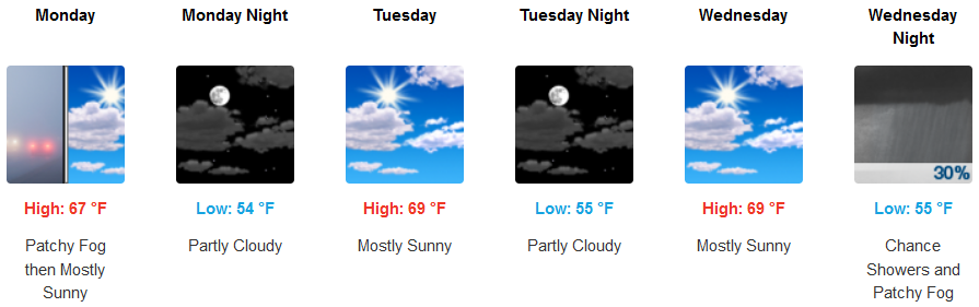
Along the coast, early morning patchy fog and marine layer along the immediate coast are forecast before a possible weather change begins to move into the region mid-week. Coastal temperatures will stay seasonably cool with morning lows in the low 50’s, with afternoon highs only getting to the mid 60’s.
Brookings:
Crescent City:
Gold Beach:
Cave Junction:
Grants Pass:
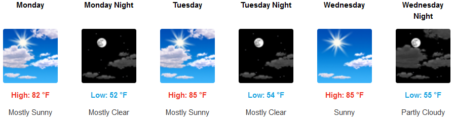
Medford: