

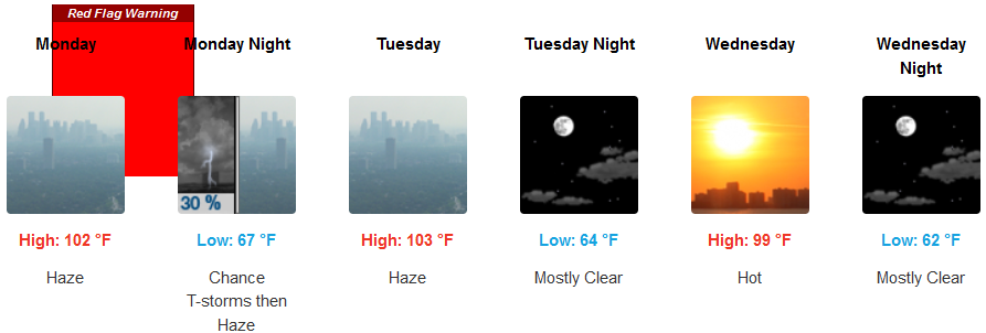
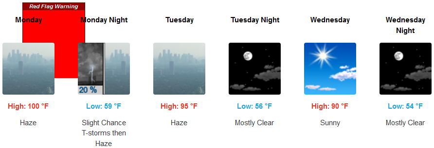
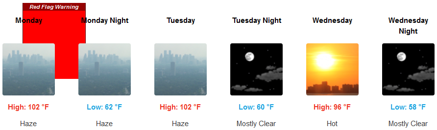
The dome of high pressure over the northwest is beginning to show signs of weakening and slowly moving to the east bringing cooler temperatures and Red Flag Warnings from the National Weather Service for areas just east of the coast and into the valley.
Clear skies and high temperatures are forecast to continue with hazy skies going into mid-week before some semblance of relief begins after Red Flag Warnings from the National Weather Service early in the work week. Triple digits are forecast into mid week with afternoon highs in low 100’s before cooling slightly going into mid-week.
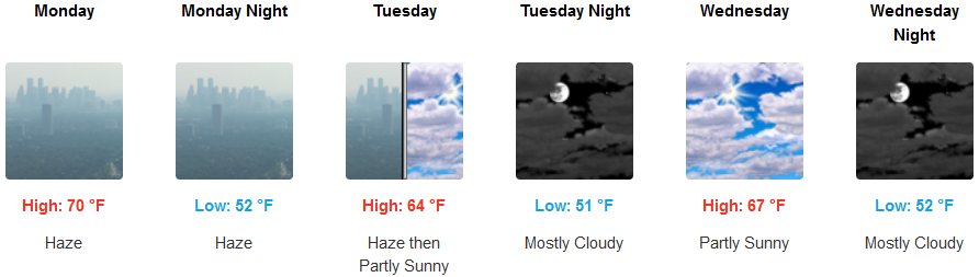
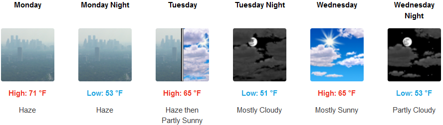
Hazy, cloudy skies will start the work week along the coast with temperatures remaining in the low 70’s for a highs before cooler air begins to move onshore mid-week. Afternoon highs are expected to stay in the low 70’s with cooling beginning mid-week dropping highs into the mid to upper 60’s.
Brookings:
Crescent City:
Gold Beach:
Cave Junction:
Grants Pass:
Medford: