


Just before 5:30am Tuesday morning, January 12th, a 4.3 magnitude earthquake was recorded 74 miles off the southwest coast of Petrolia, south of Eureka, California. The quake was just over 2 miles deep, and no Tsunami’s or Tsunami warnings were generated.
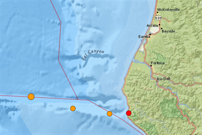
The 4.3 temblor was followed by 3 aftershocks beginning later in the morning with a 2.9 magnitude at 10:52am, a 2.7 at 8:12pm as well as a 2.5 magnitude quake recorded at 2:00am on the coastline 4 miles southwest of Petrolia, California.