

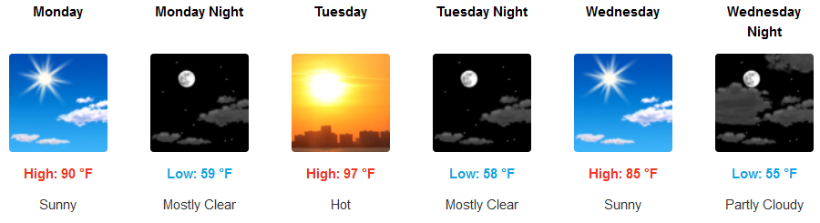
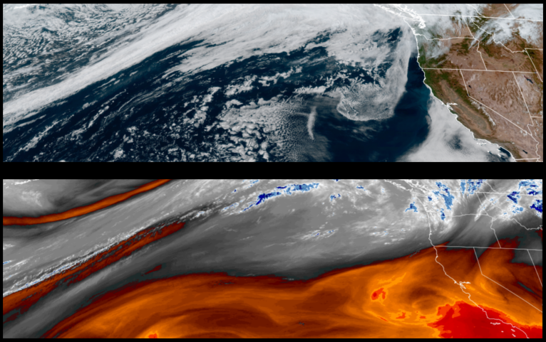
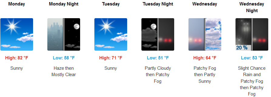
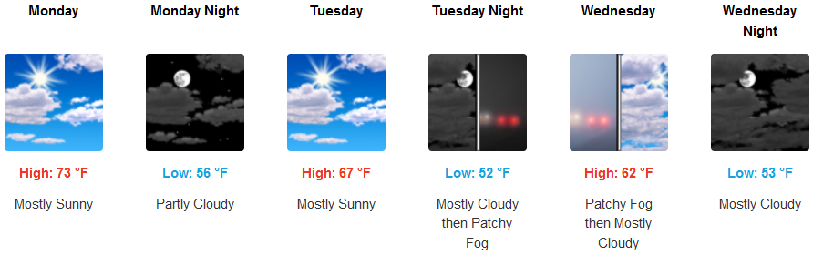
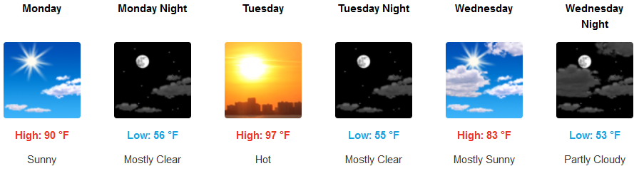
The ridge of high pressure responsible for the warm weather and clear skies, will continue into mid week strengthening as the work week progresses, before weakening mid week returning the cooler temperatures.
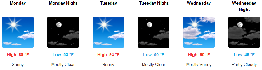
Mostly sunny skies are forecast to continue inland, with a slight northwest wind and hotter high temperatures near triple digits. Afternoon highs are expected to be in the low to upper 90’s, with morning lows in the mid 50’s.
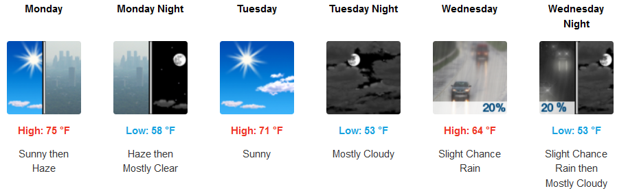
Along the coast, morning haze will start the work week, clearing to mostly sunny skies and warm afternoon highs are expected to continue with the warmest temperatures early in the week. Afternoon highs are expected to reach the mid tonupper 80’s with morning lows in the in the mid to upper 50’s.
Brookings:
Crescent City:
Gold Beach:
Cave Junction:
Grants Pass:
Medford: