

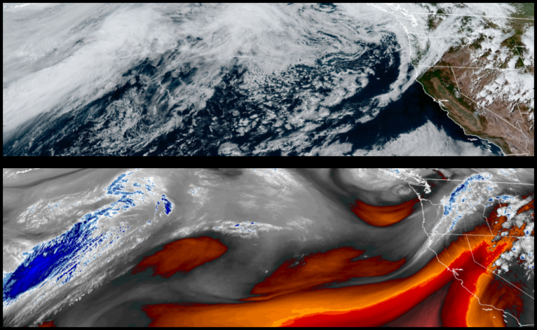
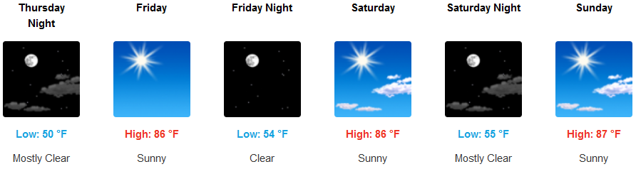
The high pressure has begun to break down as an upper trough pulls it to the east bringing in partly cloudy skies and cooler temperatures and the continuation of Red Flag Warning east of Medford.
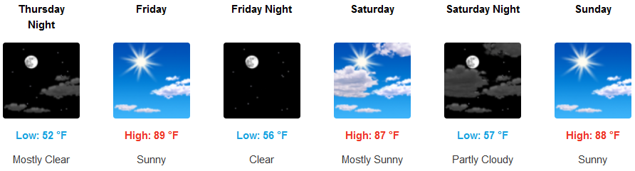
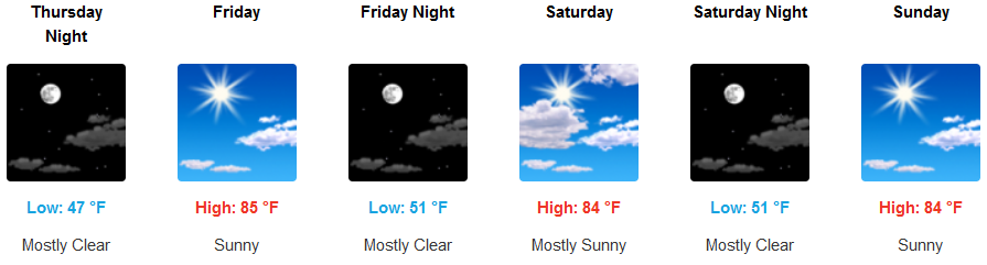
Partly cloudy skies and cooler temperatures are forecast as the cool air begins to move east Thursday, allowing temperatures to warm slightly going into the week end. High temperatures will be in the low 80’s before mostly clear skies move in for the weekend slightly warming temperatures into the mid 80’s.
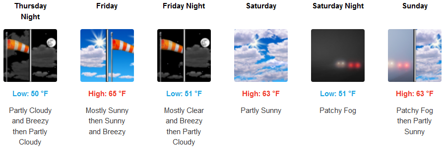
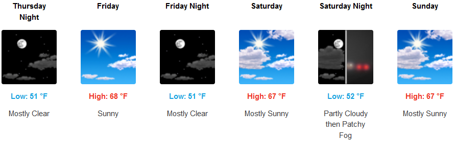
Along the coast, temperatures are forecast to stay relatively cool with fog and an early morning marine layer burning off by late morning. Temperatures will be in the upper 40’s in the morning with afternoon highs only getting into the mid to upper 60’s.
Brookings:
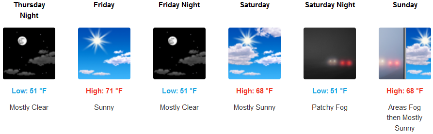
Crescent City:
Gold Beach:
Cave Junction:
Grants Pass:
Medford: