

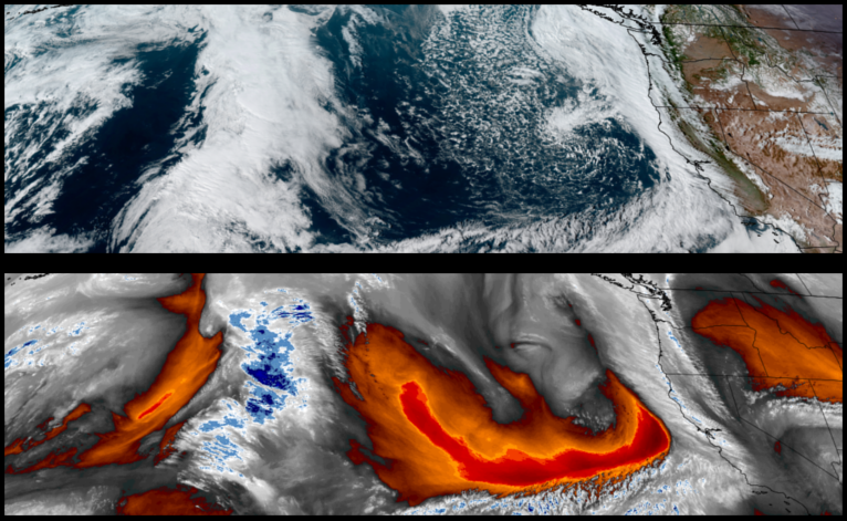
A break in precipitation is expected for much of the region to start the work week, however, rain remains in the forecast into mid week as the last weather system moves to the east and another Pacific storm system moves on shore.
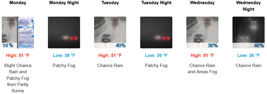
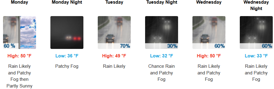
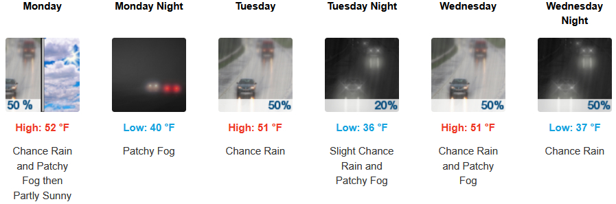
Inland areas can expect chances of precipitation to subside Monday with localized early morning fog with skies possibly clearing to partly cloudy skies before chances for rain increase into mid week. Low temperatures are expected to range from mid to upper 30’s with highs hovering in the low 50’s into mid week.
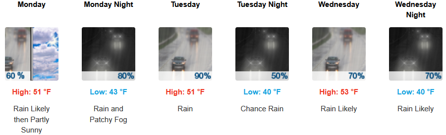
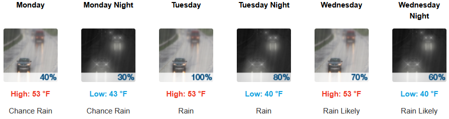
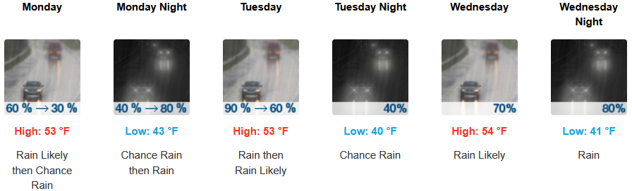
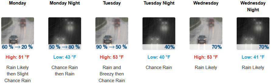
Coastal areas are forecast to see the possibility of a break from precipitation Monday, however, significant chances for rain will continue through mid week. Temperatures are forecast to be in the low to mid 50’s for afternoon highs with morning lows cooling to the low 40’s.
Brookings:
Crescent City:
Gold Beach:
Port Orford:
Cave Junction:
Grants Pass:
Medford: