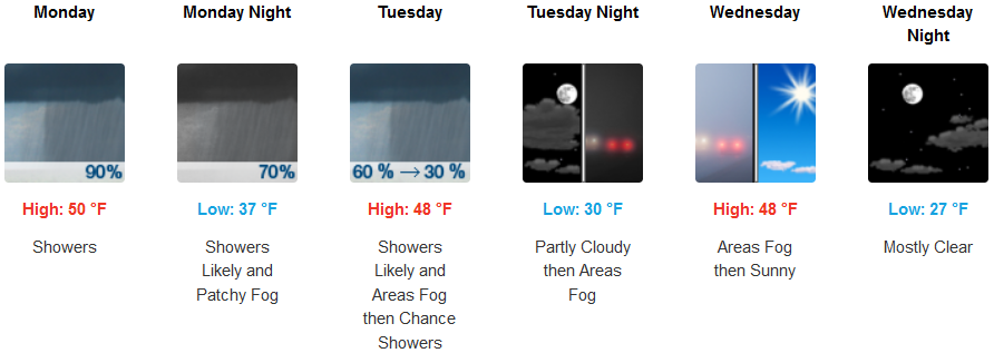
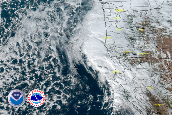
Coastal rain and high elevation snow is forecast to continue as onshore flow continues to rotate weak low pressure systems into the region into mid week with rain and snow impacting northern California and southern Oregon as a transition to drier weather conditions begins later this week.
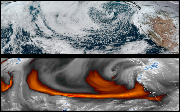
Inland areas are forecast to see rain and cool temperatures with snow likely affecting travel over the higher elevations into mid week. High temperatures will be in the upper 40’s with early morning getting into the low to mid 30’s at the higher elevations.
Coastal areas are expected to see a transition to a drier weather pattern after another round of significant chances of heavy rain early in the work week. Low temperatures are forecast to be in the low 40’s cooling to the upper 30’s as cool air moves onshore into mid week with afternoon highs in the mid 50’s.
Brookings:

Crescent City:

Gold Beach:

Cave Junction:
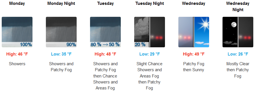
Grants Pass:
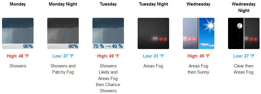
Medford:
