

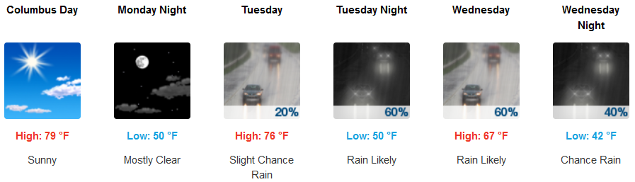
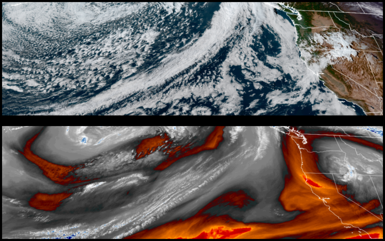
The weakening ridge of high pressure has allowed the jet stream to slip to the south allowing an upper level trough to push a series of cold fronts across the region, which is forecast to bring light precipitation as early as Tuesday afternoon and continuing into mid week.
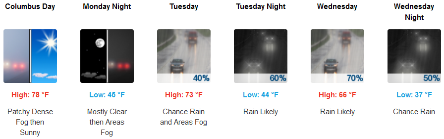
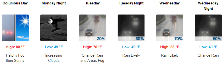
Inland areas are forecast to wake up to patchy localized fog Monday morning before clearing under mostly sunny skies and warm afternoon temperatures. Increasing clouds will start late Monday evening with showers possibly starting before noon Tuesday and continuing into Wednesday. High temperatures are expected to start in the low 80’s Monday, cooling to the upper 60’s for highs by mid week.
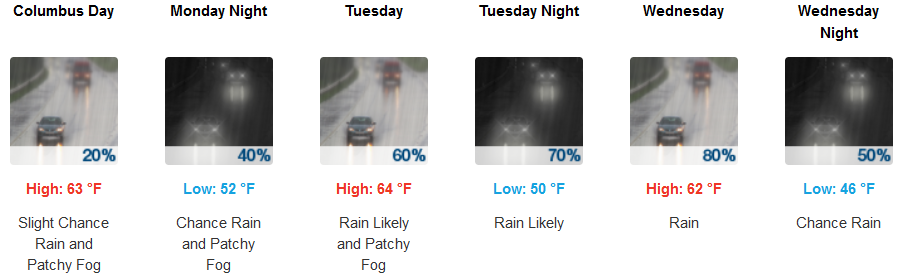
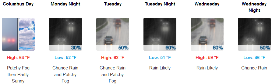
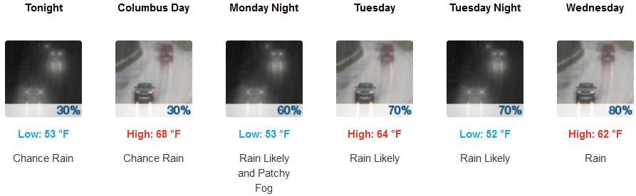
Along the coast, increasing clouds will begin as early as Monday morning, with the slight chance of precipitation beginning before noon and continuing through Wednesday night. Afternoon highs will be in the 60’s through mid week, with early morning lows in the low 50’s.
Brookings:
Crescent City:
Gold Beach:
Cave Junction:
Grants Pass:
Medford: