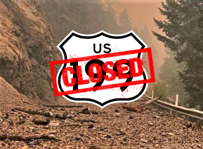
Fire authorities now report that 27 fires were ignited since Monday evening after over 150 lightning strikes struck the area earlier in the week. Latest reports as of Friday evening, August 18th, state that there are 12 confirmed fires on the Gasquet Ranger District with an estimated acreage of 12,699 acres with 0% containment threatening high power transmission lines, critical wildlife habitat and historical and cultural resources.
After ballooning from initial estimates of just over 900 acres Tuesday from fire mapping, the Smith River Complex, just south of the Oregon border, consisting of the Diamond, Holiday, Kelly, Prescott Fires and other hot spots, grew to over 1500 acres by early Wednesday morning and adding over 6,000 acres Thursday.
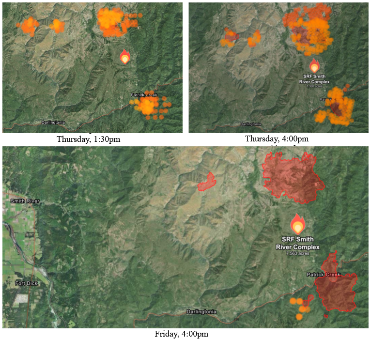
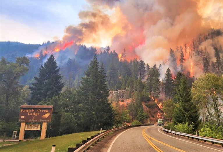
By Wednesday afternoon, CalTrans declared a hard closure of U.S. Hwy. 199 with no estimated time of reopening, at the Agriculture Station near the Oregon border, extending from from Pioneer Road to Oregon Mountain Road, after the fire had spread near Patrick Creek.
Late Friday afternoon, Pacific Power announced that due to approaching wildfire, Pacific Power was in the process of de-energizing its transmission line serving the Hiouchi area for an unknown duration after Pacific Power announced late Wednesday evening that due to wildfire behavior and risk, Pacific Power had proactively turned off power in some areas at the request of emergency personnel, and in the event Pacific Power should need to de-energize transmission lines running through the Smith River Fire Complex in the future.
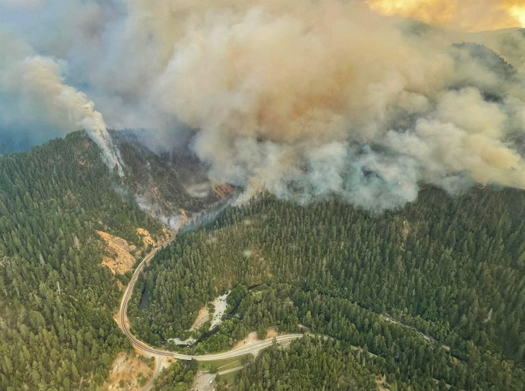
Thursday, August 17th, saw the weather continuing to be a factor, as high temperatures and very gusty winds pushed the fire into the Smith River Canyon, consuming fuel in extremely rugged terrain with limited access. These fires have dictated resources to focus on identifying the locations of the fires and hotspots while planning and coordinating suppression efforts on those posing the highest risk to life and property.
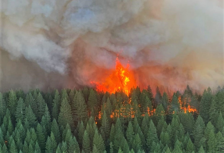
The fires within the Smith River Complex continue threatening numerous communities, highly used travel corridors, primarily U.S. Highway 199 which remains closed, critical transmission lines, and other natural and cultural resources. Focusing on suppressing the fires threatening these areas will remain the priority for the coming days.
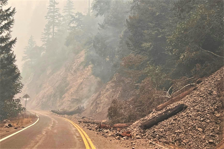
Transition of the management of the Smith River Complex from the local unit to California Incident Management Team 15 occurred at 6:00am Friday morning. Additional resources, including water dropping helicopters, are expected to arrive to the fire Friday and will be deployed along the Highway 199 corridor in an effort minimize the impact of the fires to critical infrastructure.
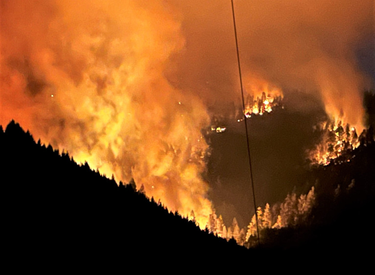
As of early Wednesday evening, August 16th, Patrick Creek, Little Jones Creek, Copper Creek Drainage, Coon Creek, Washington Flat, Pioneer Road, and Panther Flat Campground Area has been at Level 3 “Go Now”. The areas of High Divide, Rowdy Creek, Gasquet from Pioneer Road to Slant Bridge areas are at Level 2 “Be Set”, and the areas of French Hill, Big Flat/Rock Creek, Low Divide, Hiouchi from Slant Bridge to the east end of North Bank Road remain at Level 1 “Be Ready”.


