

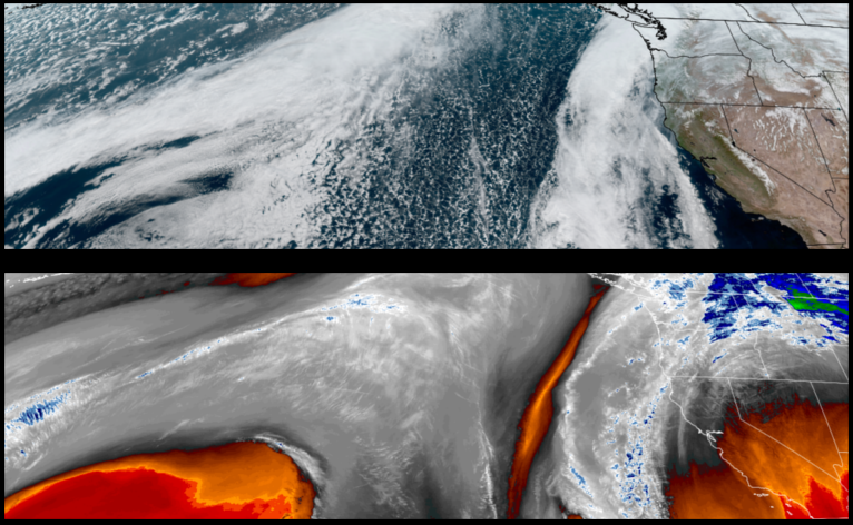
More of the same with mostly sunny skies and cool crisp temperatures to start the workweek before the weather pattern changes Tuesday night into Wednesday bringing another weather system moves into the area through mid week.
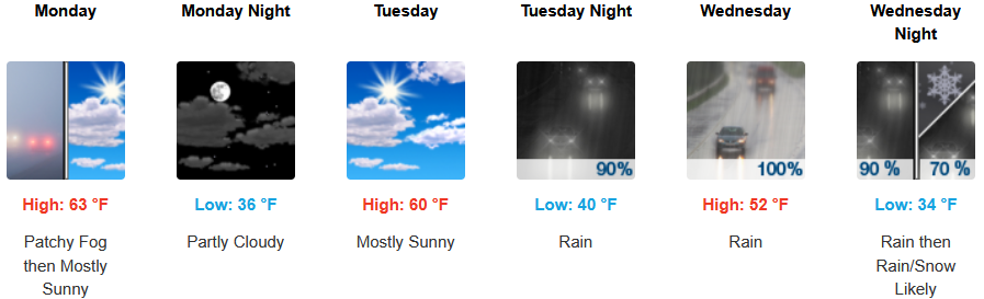
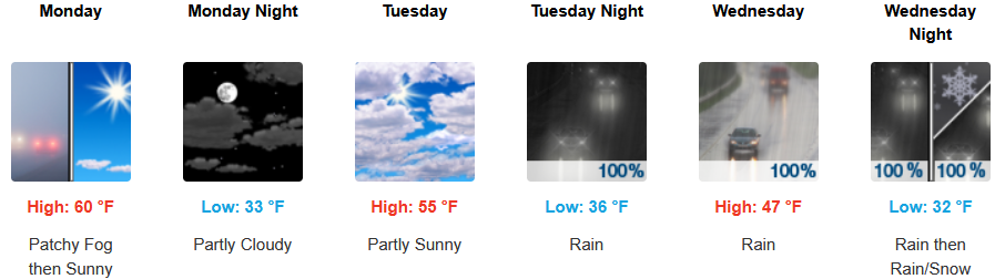
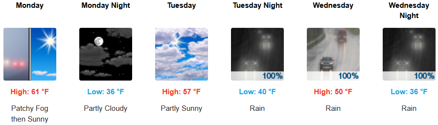
Inland areas are forecast to see localized fog under partly cloudy skies to start the workweek before a colder air mass brings precipitation and high elevation snow levels possibly dropping to 2000 feet through Wednesday. Early morning lows are expected to be in the low to mid 30’s with highs in the low to mid 50’s.
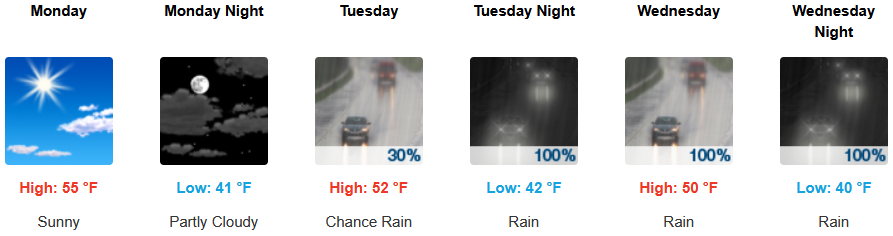
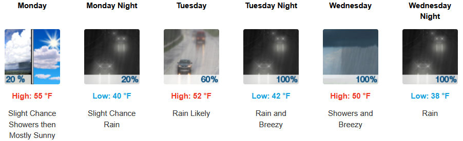
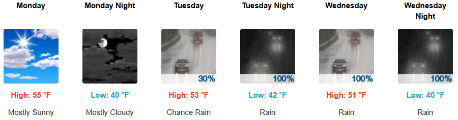
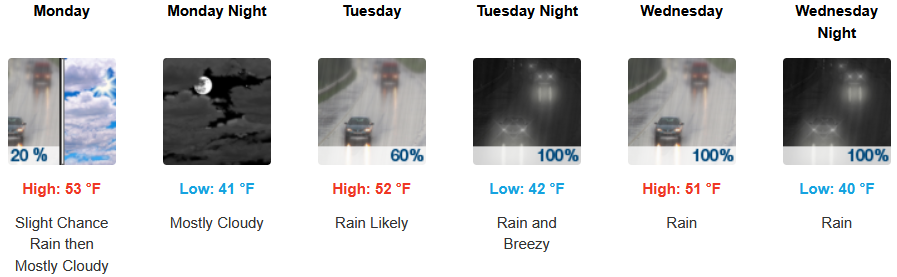
Along the coast sunny skies are expected to start the work week as another weather system begins to push onshore. bringin wind and rain to the region beginning Tuesday and continuing through midweek. Temperatures are forecast to consistently be in the low to mid 50’s for afternoon highs with morning lows cooling to the low 40’s.
Brookings:
Crescent City:
Gold Beach:
Port Orford:
Cave Junction:
Grants Pass:
Medford: