

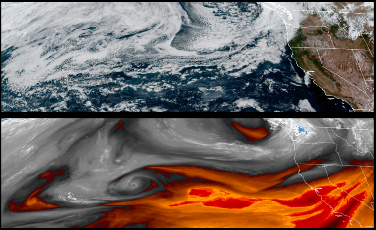
Another strong low pressure system moving down the coast is forecast to bring precipitation to the region as early as Thursday with significant chances for measurable rain to end the work week, and keeping temperatures below normal through the weekend.
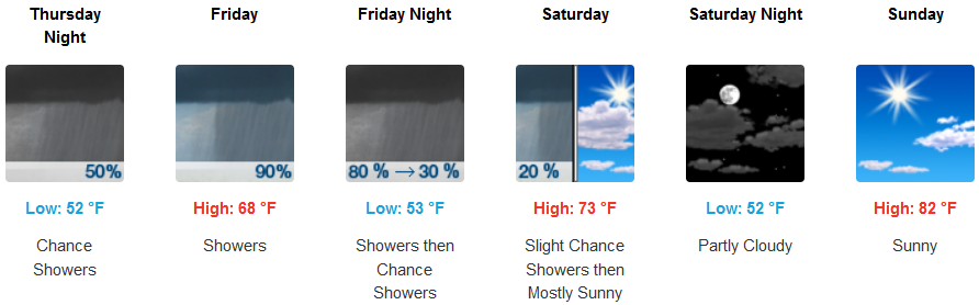
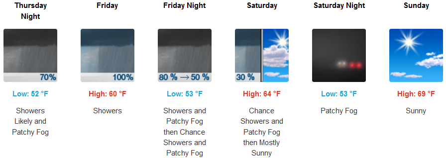
Inland areas are forecast to see chances of rain increase through the day Thursday, continuing through Friday and into Saturday with possible thunderstorms. Temperatures will be below normal seasonal highs with highs in the mid 70’s increasing as the weekend progresses.
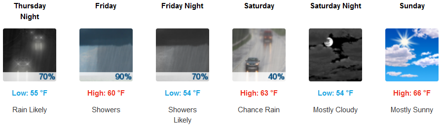
Along the coast, mostly cloudy skies are expected to bring precipitation Thursday with early morning thunderstorms possible, and rain into Saturday. Afternoon highs are forecast in the low to mid 60’s increasing late in the weekend.
Brookings:
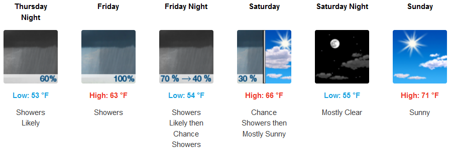
Crescent City:
Gold Beach:
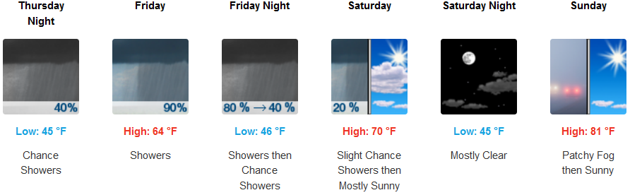
Cave Junction:
Grants Pass:
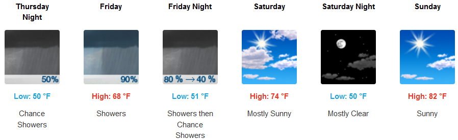
Medford: