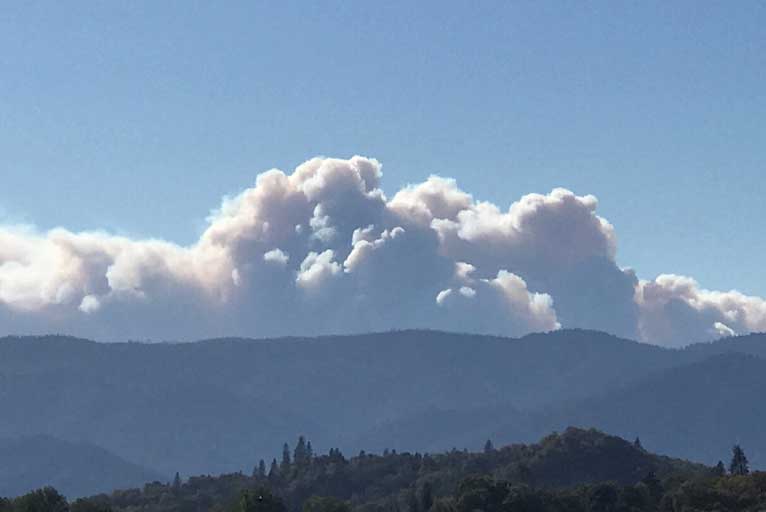
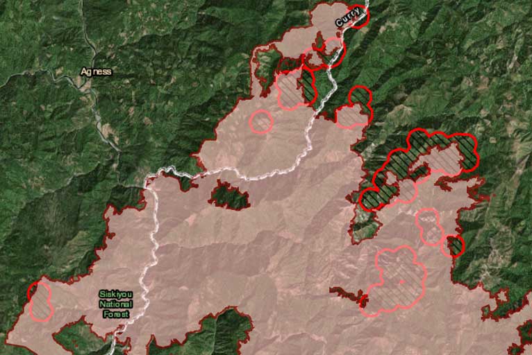
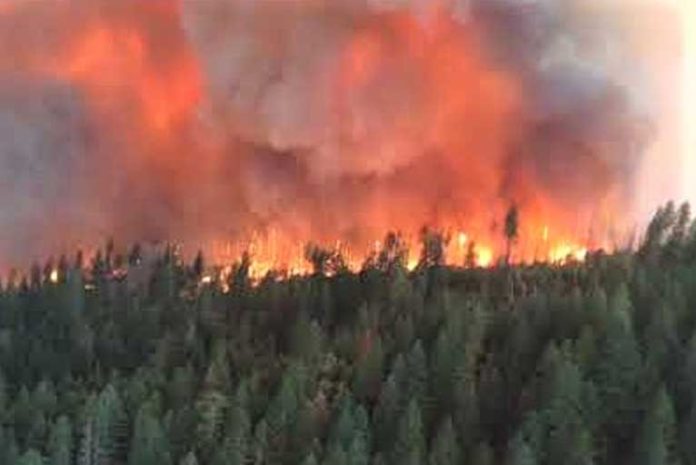
The red flag warning from Sunday evening until Tuesday morning seems to have reignited large portions of the Klondike fire in the past few days, growing from 146,498 Acres to 154,663 in the past three days.

The dry windy weather is causing active fire behavior and intensive fuel consumption on the interior of the Klondike Fire. The Fire’s size increased by 7,600 acres yesterday, as fire spread through unburned areas well within containment lines.
Timelapse of Interior Fire Activity on the Klondike Fire 9/24/18
The #KlondikeFire saw an increase in activity yesterday with lower humidities and higher temperatures, as winds out of the northeast pushed smoke to the west/southwest, impacting communities along the coastline. The fire grew approximately 7600 acres in the interior, but has not threatened any containment lines and remains within the established perimeter. This time lapse video, taken by Division Supervisor Richard Parrish from Burnt Ridge Road captures smoke from the growth yesterday afternoon. Heavy helicopters dropped more than 300,000 gallons of water along the western edge of the fire, successfully slowing the fire spread in that direction, even as winds pushed the fire from the northeast. Today will be another challenging fire day with high temperatures and extremely low humidities. Air resources will be used to the extent of their safe operational timeframes to slow fire spread. The priority for air resources has been along the west/northwest edge of the fire to stop spread towards the community of Agness, while crews continue to work to identify more direct line construction and containment opportunities on the north edge and along the western edge of the Taylor Creek Fire.
Posted by Taylor Creek Fire and Klondike Fire Information on Tuesday, September 25, 2018
Smoke columns rising above Montana Spring, Little Silver Creek, Browns Gulch and Todd Creek were visible from communities to the east, and heavy smoke affected Gold Beach and Brookings and smoke blankets Agness this morning.

Fire containment lines held with the benefit of constant support by helicopter water drops and partial sheltering from the topography. Fire activity remained in check at Horse Sign Creek; the confluence of the Illinois River and Indigo Creek; and below Forest Road 2308 the Burnt Ridge Road.
Today’s fire weather brings temperatures well above normal, with very low relative humidity, gusty wind and poor overnight humidity recovery.
Please Like, Share and Follow the …


