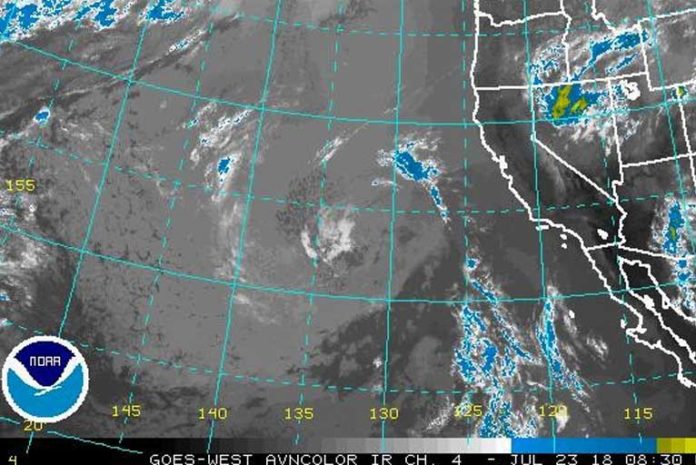
Hot weather is expected this week. Temperatures will reach the triple digits across the valleys west of the Cascades, while areas east of the Cascades rise into the 90s. Locations near the coast, however, will remain cooler. The map shows where the greatest impacts from the heat are expected.
Brookings:
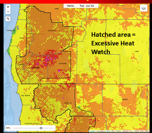
Red indicates high-risk areas where the heat will be dangerous for most people, but especially for those without adequate cooling and/or proper hydration. Areas in orange indicate a moderate risk where the temperatures will be most dangerous for those sensitive to heat. People can easily take simple precautions to keep safe and not be affected.
Medford:
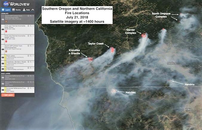
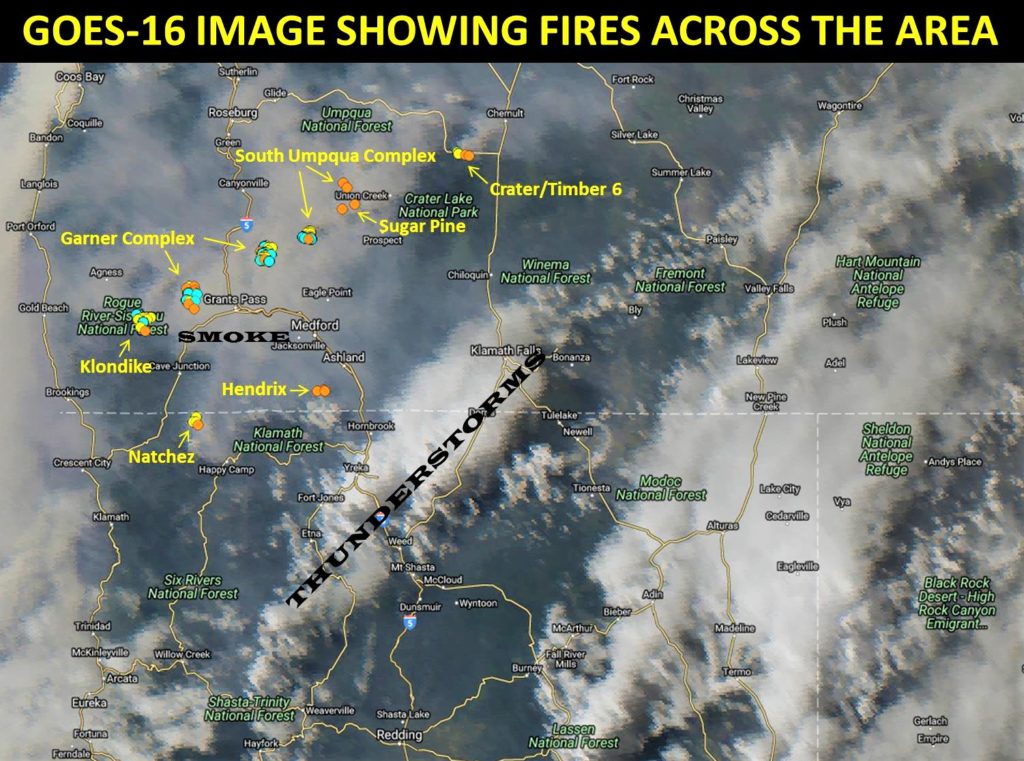
This is a satellite image (NASA’s Aqua Polar-orbiting satellite) from yesterday afternoon’s smoke. Given a similar wind pattern today, the smoke coverage is similar and should be this afternoon too. This image highlights nicely the sources of smoke (red dots though not all fires were picked up by satellite, so not all are dotted) and where the clear areas are in the forecast area. You can see the east to northeast winds near the coast and the northerly winds the further inland you go.
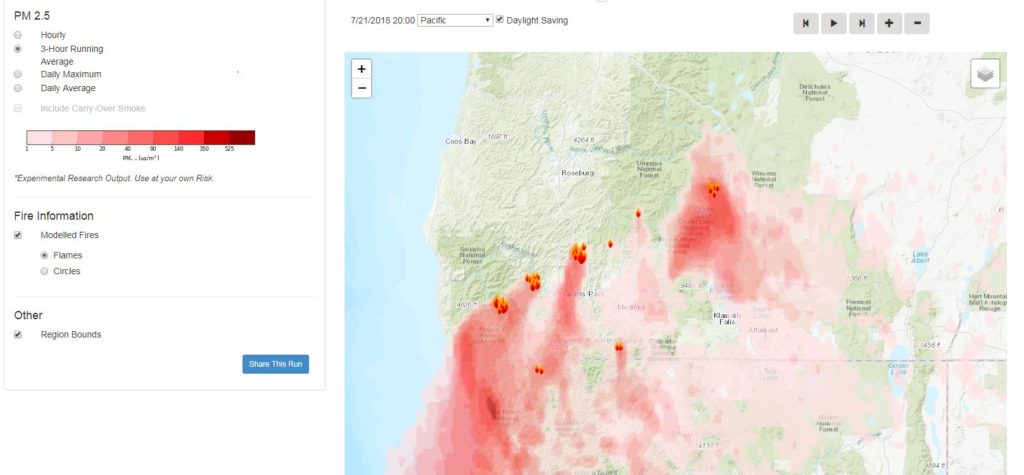
The HRRR (High Resolution Rapid Refresh) model near-surface smoke forecast depicts even thicker smoke (currently NW of Medford) could move into the Rogue Valley by this morning. Try to avoid being outdoors in the unhealthy air.
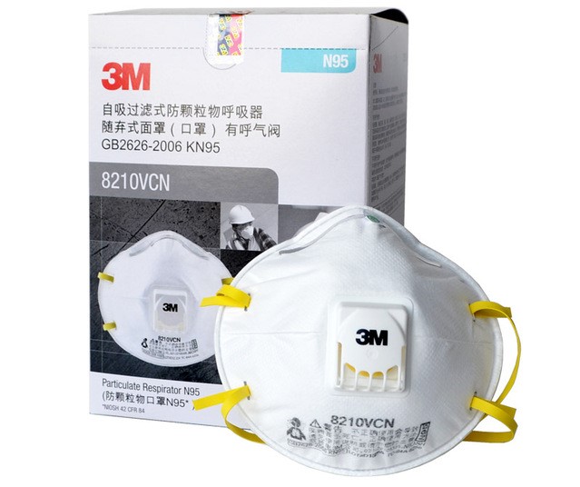
Wearing a special mask called a “particulate respirator” can also help protect your lungs from wildfire smoke. Choose a mask called a “ particulate respirator” that has the word “NIOSH” and either “N95” or “P100” printed on it.
These are sold at many hardware and home repair stores and pharmacies.
Please Like, Share and Follow the …


