

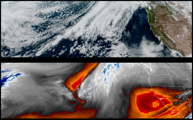
A substantial ridge of high pressure has developed off shore and will continue to push weather systems up and around the Pacific Northwest generating mostly clear skies and warm temperatures with Monday likely being the warmest before a cold front begins to move onshore late Wednesday.
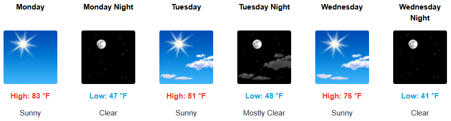
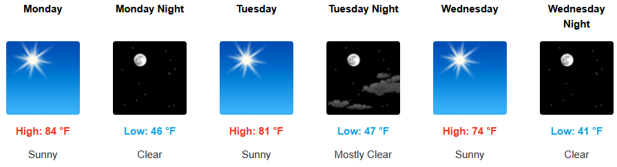
Inland areas are forecast to wake up to clear skies and warm temperatures with a light variable afternoon wind to start the work week. Early morning lows are expected to be in the mid 40’s, with highs likely reaching the low 80’s early in the week.
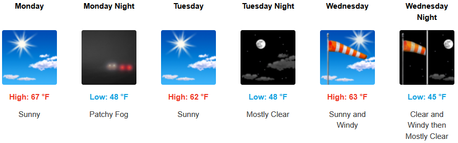
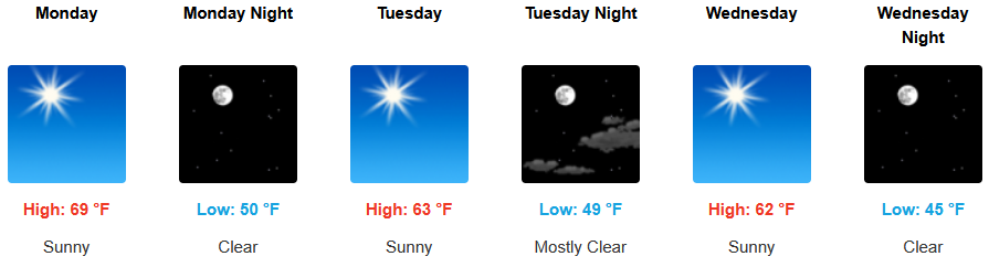
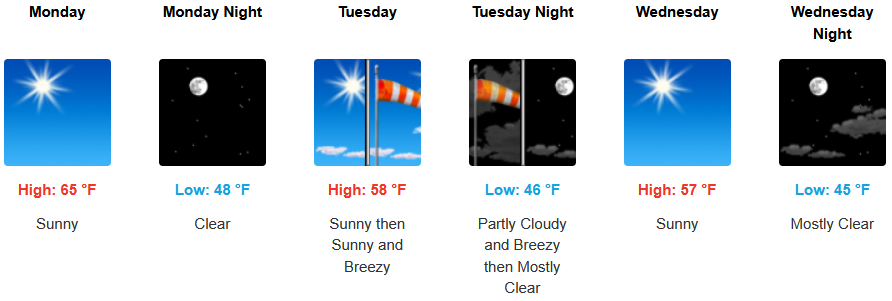
Along the coast, the work week starts with clear skies and warm sunny afternoons with winds possibly picking up along the immediate coast Tuesday. Afternoon highs are expected to be in the mid to upper 60’s with Monday being the warmest day of the week, and early morning lows in the mid to upper 40’s.
Brookings:
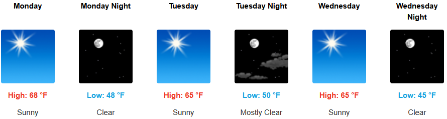
Crescent City:
Gold Beach:
Port Orford:
Cave Junction:

Grants Pass:
Medford: