

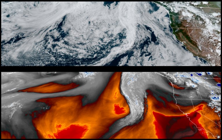
Warm moist air circulating up from the southwest pushed a fast moving front of unstable air through the region spurring hundreds of lightning strikes, wind and localized rain showers mid-week across northern California an southern Oregon. Forecasts for the region continue to see high pressure keeping temperatures hot into the weekend.
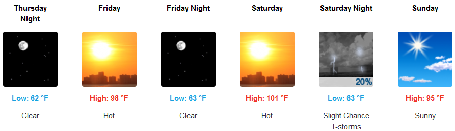
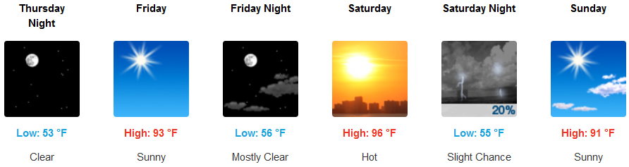
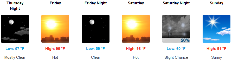
Sunny clear skies are forecast to continue into the weekend for inland areas off the coast with slight winds and afternoon haze moving into the weekend. Afternoon highs will continue to high possibly reaching the mid 100’s this weekend with morning lows in the mid 60’s.
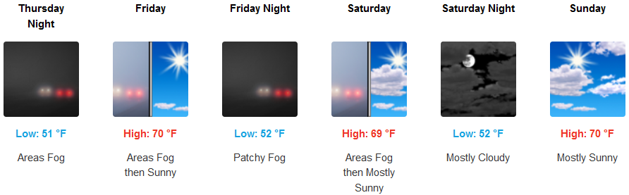
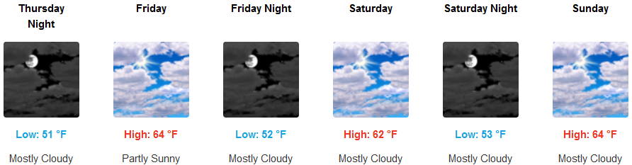
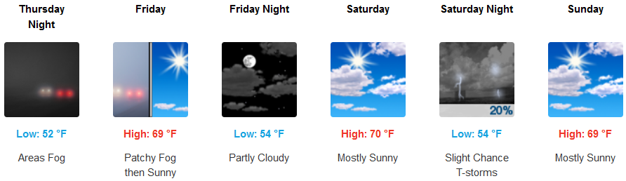
Along the coast, an encroaching marine layer and localized fog will start the day, clearing late morning to early afternoon to partly cloudy skies. Temperatures will remain relatively cool by comparison to inland areas with afternoon highs only getting to the upper 60’s with morning lows in the low to mid 50’s.
Brookings:
Crescent City:
Gold Beach:
Cave Junction:
Grants Pass:
Medford: