Forecasts remain warm away from the coast, but inland high temperatures will trend several degrees ‘cooler’ as the week continues and likely persist through early next week.

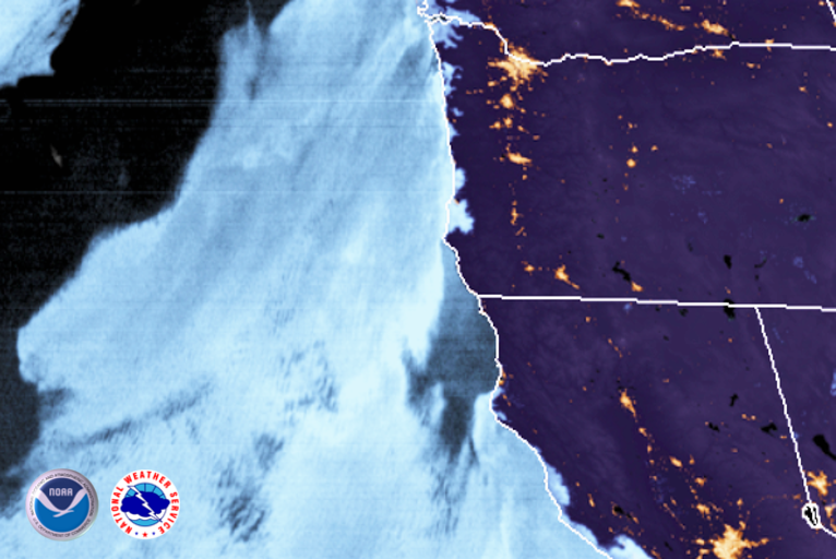
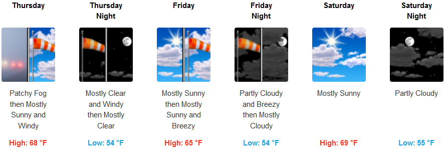
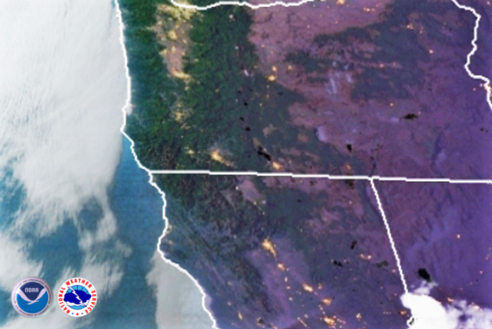
With high pressure positioned off the coast coastal areas should see areas of patchy morning fog as the marine layer gradually burns off becoming sunny with a highs in the upper 70’s and lows in the mid 50’s. A north northwest wind could range between 10 and 15mph in some coastal locations in the afternoon.
Areas away from the coast will see much of the same with high fire danger and high temperatures in the 90s to low 100s and lows in the mid to upper 50’s across the interior valleys.
Brookings:

Crescent City:

Gold Beach:

Cave Junction:

Grants Pass:

Medford:


