

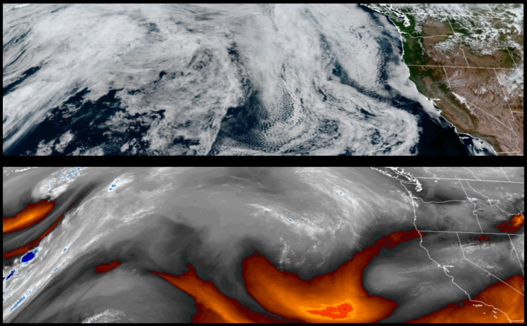
The upper level trough to the north that has been keeping skies clear and temperatures mild over the past week, has started to weaken its effect in the weather pattern and high pressure is forecast to strengthen, continuing the clear skies and bringing with it warmer temperatures close to or higher than normal.
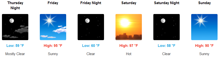
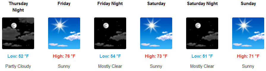
Inland areas will see early morning cloudy skies as high pressure pushes the cooler air to the east before establishing itself over southwestern Oregon and northern California. Afternoon highs will start in the upper 80’s to low 90’s mid week, rising to the upper 90’s and possibly triple digits into the weekend.
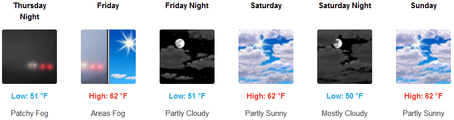
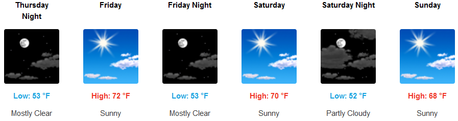
Coastal areas will see early morning fog and a thin marine layer close to coast, burning off by mid morning under mostly clear skies. High temperatures will stay relatively mild, but warm for the coast in the low 70’s, rising to the upper 70’s as the weekend progresses.
Brookings:
Crescent City:
Gold Beach:
Cave Junction:
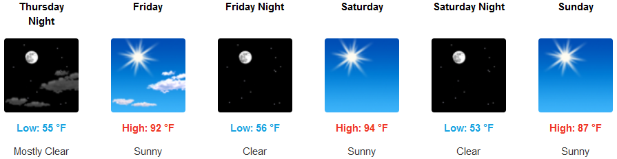
Grants Pass:
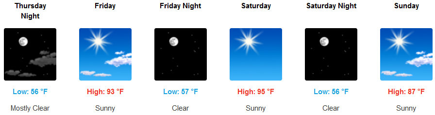
Medford: