

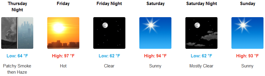
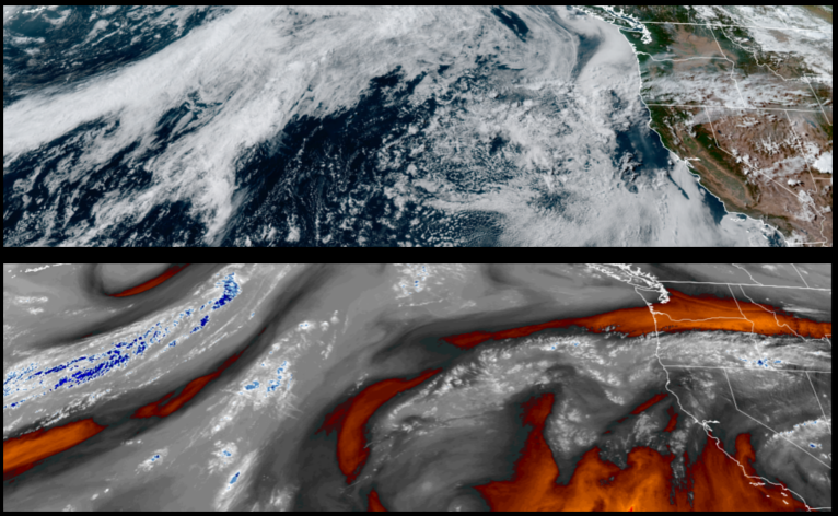
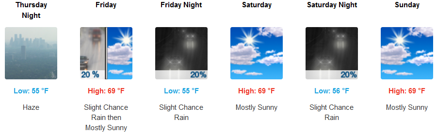
A stable air mass established over the region is expected to contain smoke from wildfires burning across the region to accumulate leaving hazy skies across much of forecast area as the work week comes to a close and into the weekend.
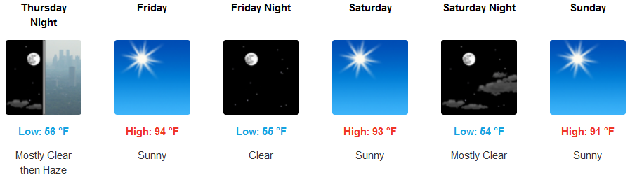
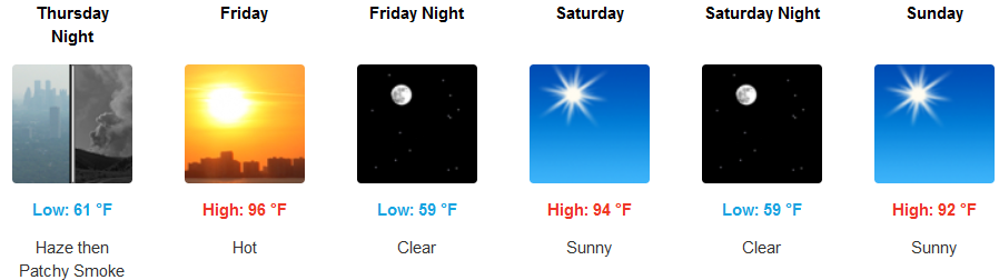
Inland areas are expected to see some relief from the triple digit heat as the week comes to an end with hazy skies late mid-week, turning to mostly clear sunny skies a light wind late into the weekend. Afternoon highs will still be warm, getting up to the upper 90’s to end the work week and cooling slightly to he low to mid 90’s to close the weekend.
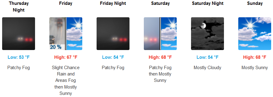
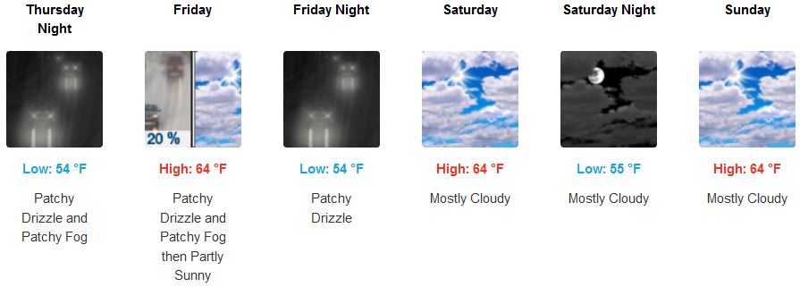
Along the coast early morning fog and drizzle will continue as a bank of clouds buffer the coast well into the weekend, keeping afternoon highs in the mid 60’s after the morning marine layer burns off and morning lows in the low to mid 50’s.
Brookings:
Crescent City:
Gold Beach:
Cave Junction:
Grants Pass:
Medford: