

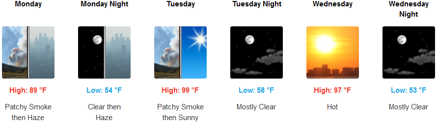
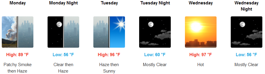
Hazy Skies and high temperatures are forecast to continue into the work week after a fast moving ‘cold front’ approaches the west coast on Monday, lowering the heat only slightly, before triple digits return inland by mid week.

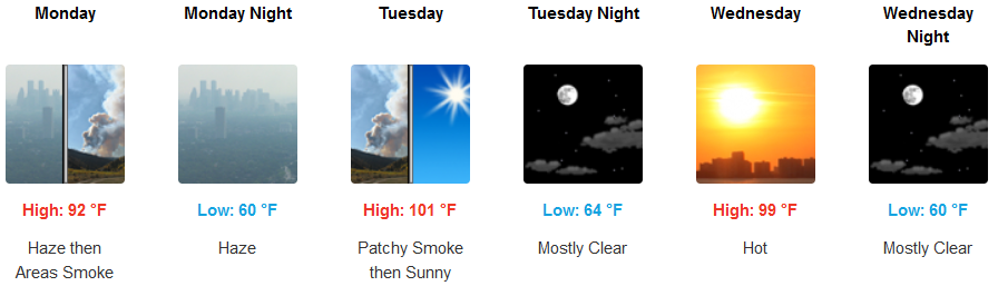
A fast moving front and hazy skies will cool temperatures for inland areas to start the work week, however, clear skies and hot temperatures will return by the middle of the week. High temperatures will linger around triple digits before heating back up to low 100’s with little if any relief through the night.
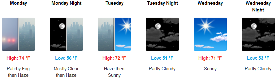
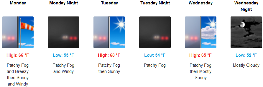
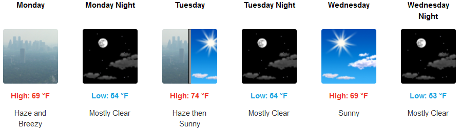
Localized early morning fog and hazy skies will start the week along the coast with temperatures staying moderate comparatively speaking. Afternoon highs will stay in the low to mid 70’s consistently into mid week with morning lows getting down to the low to mid 50’s.
Brookings:
Crescent City:
Gold Beach:
Cave Junction:
Grants Pass:
Medford: