

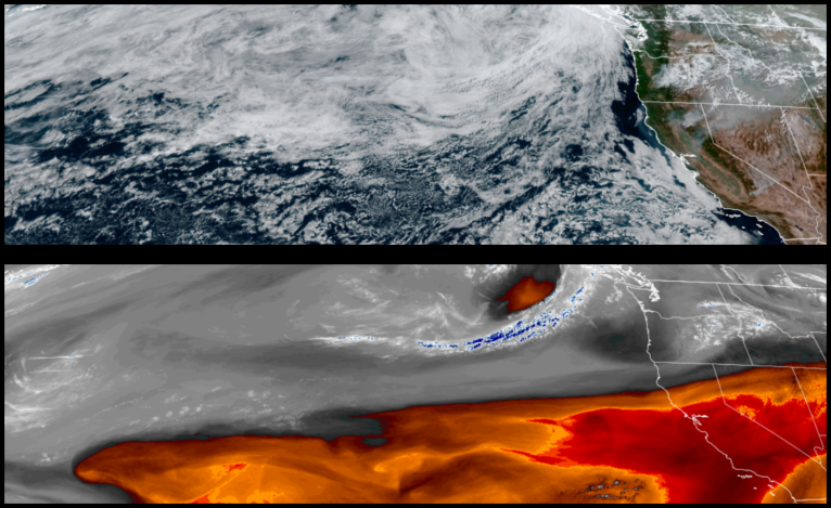
A trough of high pressure has kept low pressure systems to the north of southwestern Oregon and northwest California through the past weekend with cool morning temperatures and cooler afternoon highs, however, after another upper level low passes over the northwest early in the work week, warmer temperatures begin to return midweek.
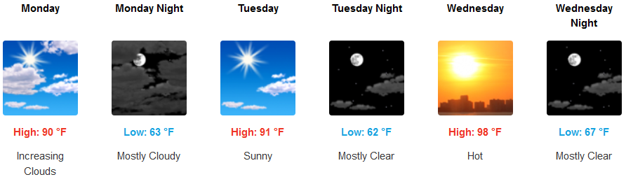
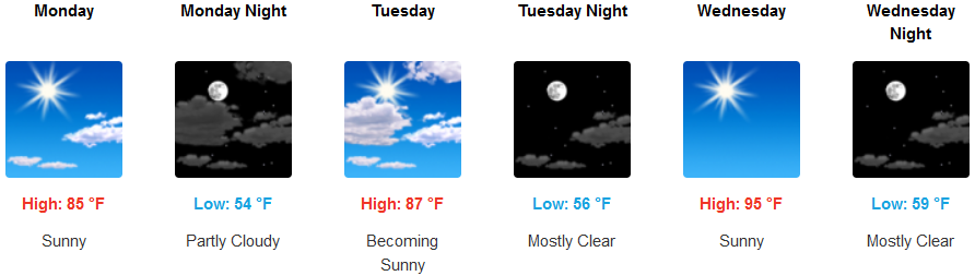
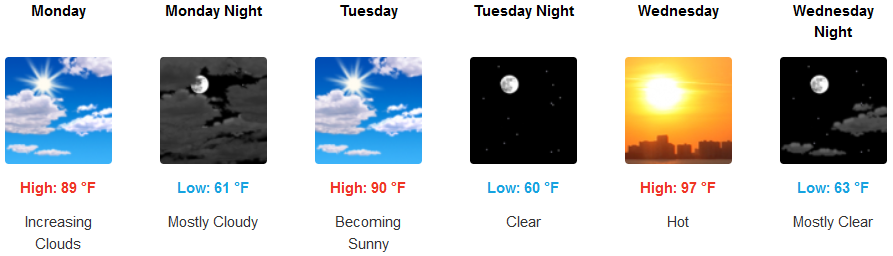
Inland areas are expected to see clear skies to start the work week with increasing clouds into Monday afternoon and early evening with sunny skies and warmer temperatures building into mid-week. As high pressure is forecast to bring back warmer temperatures later in the week with highs in the low 90’s to start the week, getting to the upper 90’s as the week progresses with morning lows in the low 60’s.
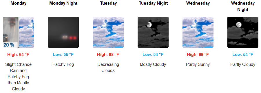
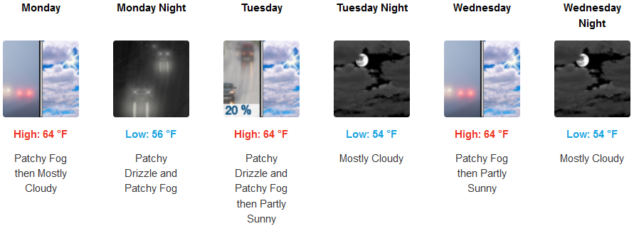
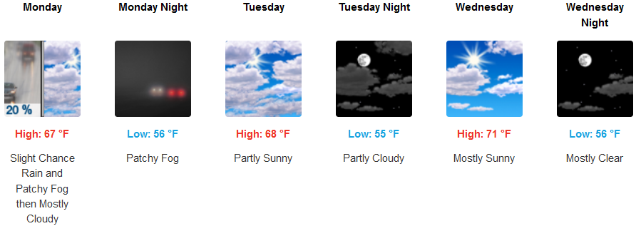
Areas along the coast can expect increasing clouds into Sunday evening with the slight chance of rain or heavy drizzle and patchy localized fog to start the work week. Cloudiness and fog will continue into Tuesday with decreasing clouds and warmer temperatures moving by mid-week. High temperatures will be in the low to mid 60’s to start the work week, warming to upper 60’s to low 70’s as the week progresses.
Brookings:
Crescent City:
Gold Beach:
Cave Junction:
Grants Pass:
Medford: