

After a quick moving Wednesday storm system, a colder and drier airmass is forecast to settle over the area to close out the work week with the next chance for precipitation possible late Sunday.
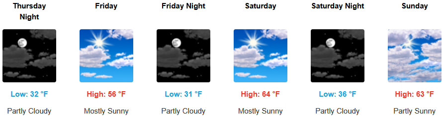
Areas inland can expect a chance for showers early Thursday as the latest weather system moves out to the east followed by partly cloudy skies and cool temperatures to end the work week. Low temperatures are expected to range from the low to mid 30’s with highs hovering in the upper 50’s to low 60’s..
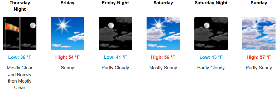
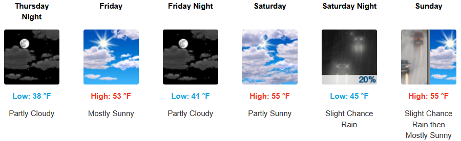
Coastal areas are forecast to see the possibility of localized precipitation as an unstable airmass begins to push the past weather system to the east leaving partly cloudy to mostly cool sunny skies into the weekend with the next chance for rain late Sunday. Temperatures are forecast to consistently be in the low to mid 50’s for afternoon highs with morning lows cooling to the low 40’s.
Brookings:
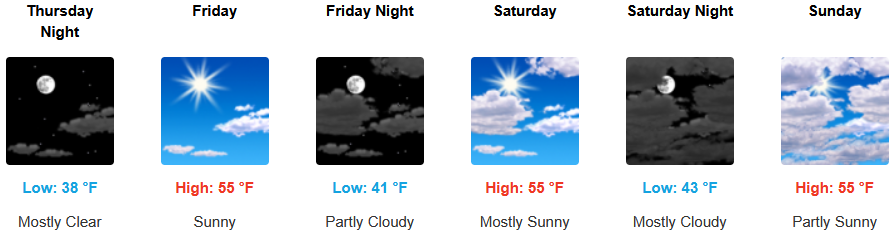
Crescent City:
Gold Beach:
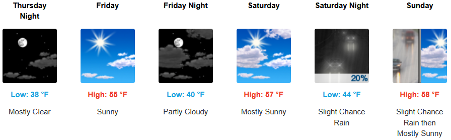
Port Orford:
Cave Junction:
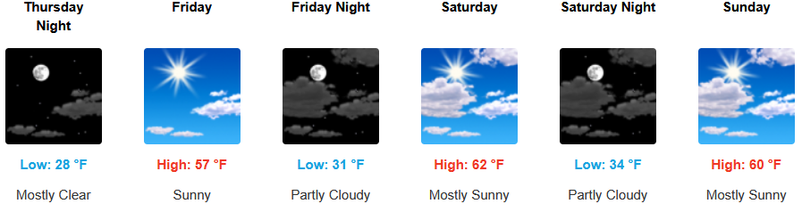
Grants Pass:
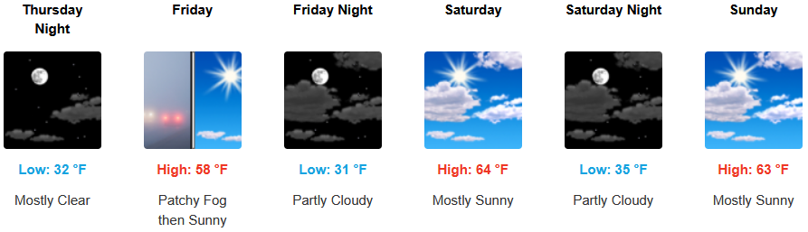
Medford: