


After a brief break Sunday, active weather from the Pacific continues to move into Oregon and northern California as onshore flow is expected to start the work week and continue through mid week continuing widespread precipitation and snow across many passes.
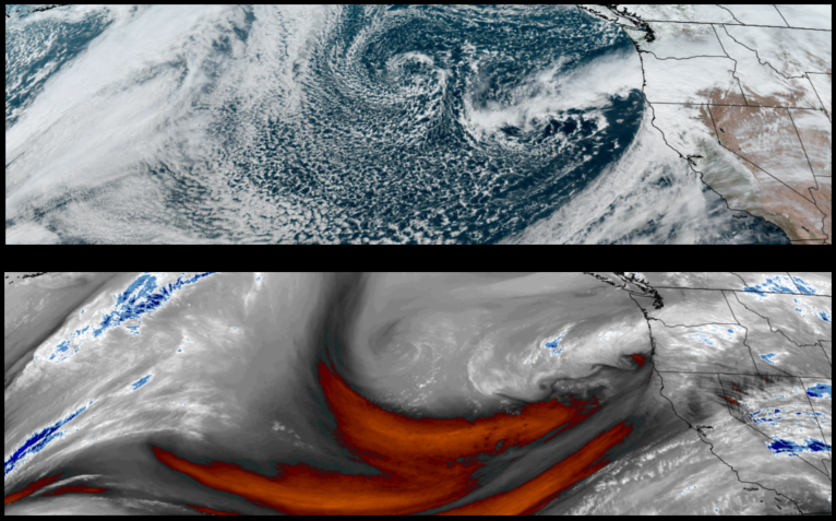
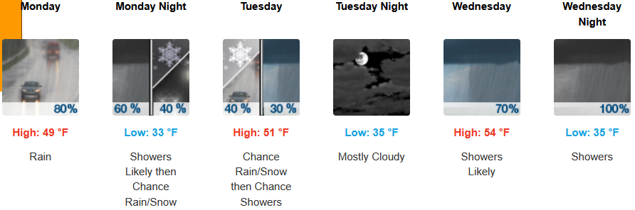
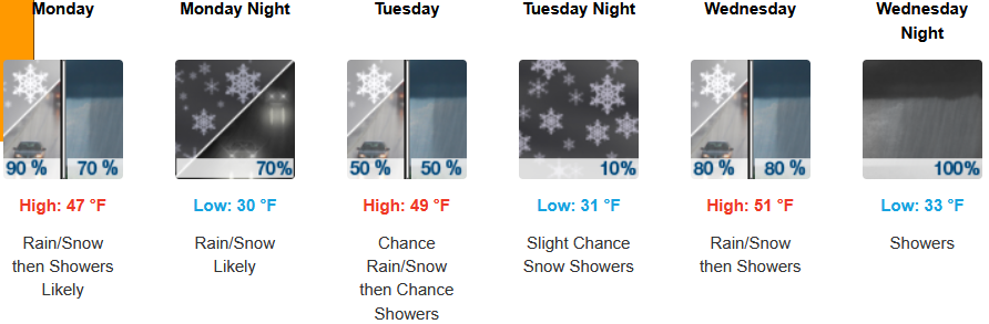
Inland areas are expected to see early morning rain and low elevation snow continuing through Monday evening and then continuing through mid week. Early morning lows are expected to be in the low to mid 30’s with highs in the low to mid 50’s.
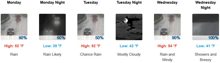
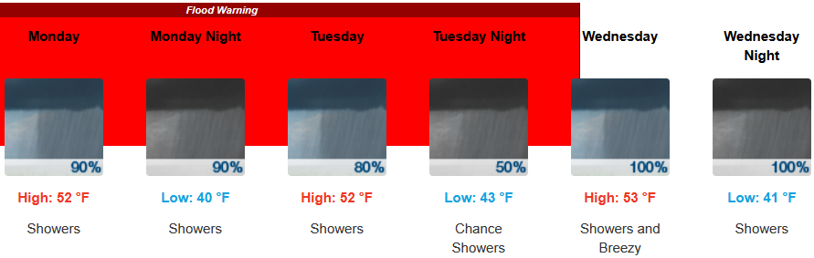
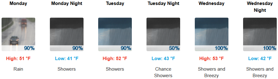
Along the coast, rain is expected to continue with Flood Warnings for Gold Beach, and possible thunderstorms as another low pressure system moves onshore with rain continuing through mid week. Temperatures are forecast to consistently be in the 50’s for afternoon highs with morning lows cooling to the low 40’s.
Brookings:
Crescent City:
Gold Beach:
Port Orford:
Cave Junction:
Grants Pass:

Medford:
