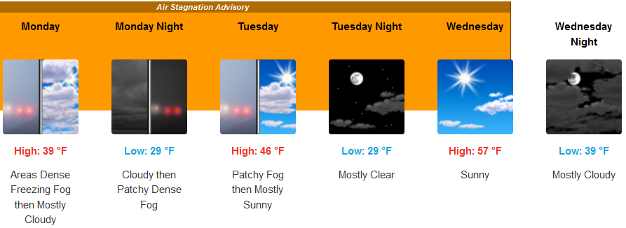
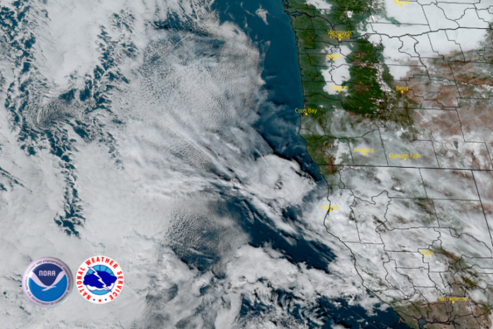
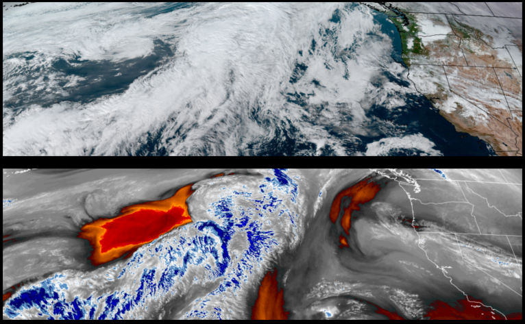
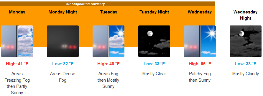
Cold dry air is forecast as high pressure builds over the region into midweek with off shore winds bringing mostly clear skies, cool temperatures air inversions that are expected to bring deteriorating air quality and air stagnation.
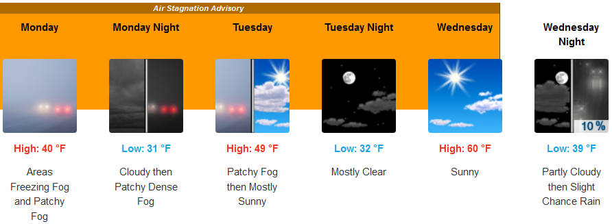
Inland areas are forecast to see freezing fog in some areas under mostly clear to partly cloudy skies and cold temperatures into mid week. Areas of localized fog and possible freezing fog are expected as colder air establishes itself with high temperatures starting in the upper 30’s warming to the upper 40’s with early morning temperatures in the low to upper 20’s.
Coastal areas are expected to see mostly clear skies and cool temperatures continuing into mid week. Temperatures are forecast to be in the mid to upper 50’s for afternoon highs with areas of localized fog possible with morning lows in the upper 30’s.
Brookings:

Crescent City:

Gold Beach:

Cave Junction:
Grants Pass:
Medford:
