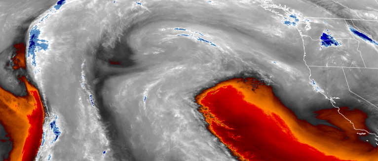
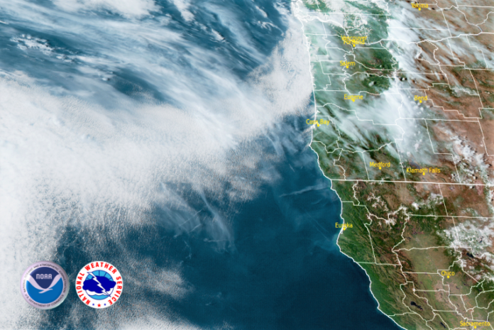
The persistent ridge of high pressure that has been stubbornly situated off the California coast to our south, drifted to the west over the past weekend, keeping moisture from the expected front over the past weekend to the north and the precipitation from the front circulating through California to the south, leaving the southern Oregon and northern California regions dry.

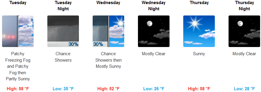
The current weather pattern may circulate precipitation from a storm north of the region through south eastern Oregon, bringing a slight chance of precipitation late Tuesday and into Wednesday morning. Patchy fog is forecast for localized areas before 7:00am, with chances of patchy freezing fog between 7:00am and 8:00am. Otherwise, mostly sunny are expected, with a high near 58 and a calm northwest wind from 5 to 7 mph in the afternoon. Early morning low temperatures will be cold, from the low 30’s with highs in the upper 50’s.
Coastal regions are not expected to see additional precipitation as the work week progresses with mostly sunny to partly cloudy skies with a north wind of 6-8 mph, gusting to 20 mph. Low temperatures are expected to fall to the upper 30’s as the workweek progresses with high temperatures in the upper 50’s to low 60’s.
Brookings:

Crescent City:

Gold Beach:

Cave Junction:

Grants Pass:

Medford:


