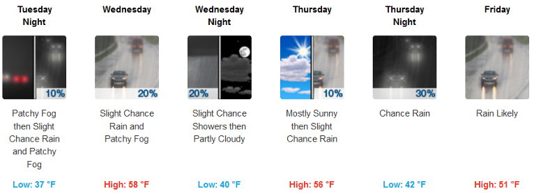
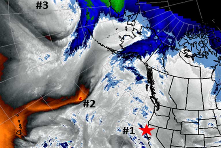
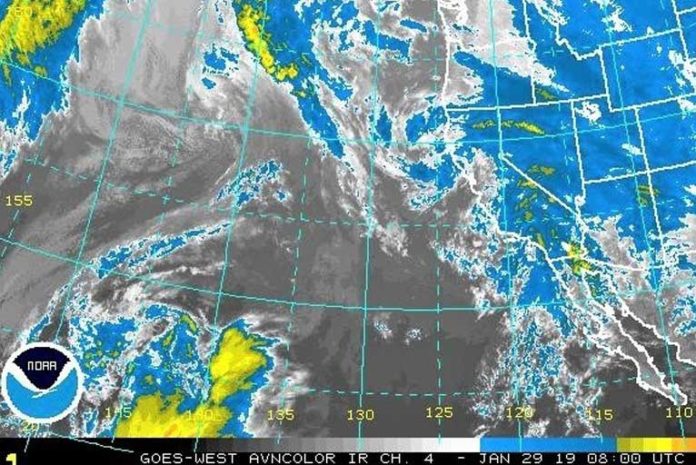
The extended stretch of dry weather and above normal temperatures will be coming to an end this week as a series of storms move towards the area. The first two systems will be fairly weak bringing very light and isolated rain showers to the area Monday night into Tuesday and then more widespread but light rain on Wednesday.
Brookings:

Medford:

A more potent system will impact the region Friday and Saturday with potentially heavy rain and gusty southerly winds however more certainty on strength and location will develop as the week progresses.

There are indications that yet another system could affect the region Sunday with snow levels dropping to near 3000 feet however confidence in this system is fairly low at this point. If you have travel plans for the weekend, it would be good to keep an eye on the extended forecast and to plan for potentially wet/snowy road conditions.
Please Like, Share and Follow the …


