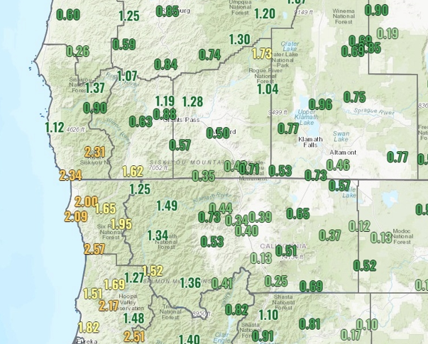
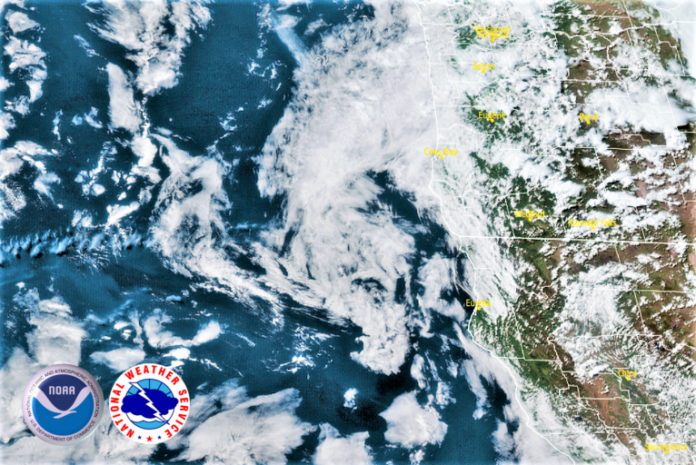
After the second consecutive weekend of significant rainfall, a shift to more spring like weather is forecast for the upcoming work week. However, an unsettled air mass passing over the region could bring isolated areas of showers, decreasing in probability as the week progresses.

Warmer temperatures & mostly dry weather are expected for the coming week. Temperatures will peak Friday, with highs approaching the upper 80’s in some of the warmer interior valleys. A slight chance of precipitation will move into the region Tuesday, however, interior temperatures are forecast to continually warm throughout the week.

Temperatures inland will get warmer daily, with highs reaching the mid to upper 80’s in some inland forecast areas with lows getting into the upper 40’s early in the week, increasing to the mid 50’s by midweek. Along the coast, Monday will see decreasing chances of precipitation as the day progresses, with the probability of coastal showers Tuesday evening. High temperatures will remain in the mid to upper 60’s with early morning lows in the low 50’s.
Brookings:

Crescent City:

Gold Beach:

Cave Junction:

Grants Pass:

Medford:


