North Jetty, Chetco River, Brookings, OR (photo courtesy Sam Wesly Appleton)
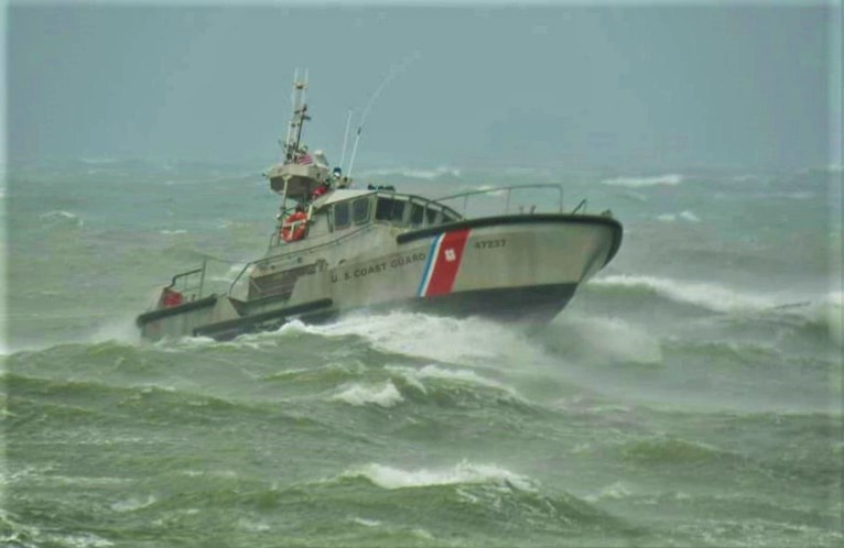
The northwestern California and southwestern Oregon coastlines faced the brunt of “Bomb Cyclone” Ezekial Tuesday, November 26th, and the brute power of Mothernature was on full display.
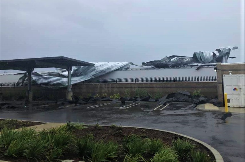
Areas up and down the coast and inland later in the day, sustained power outages, traffic problems, and property damage as the storm pushed onshore Tuesday afternoon.
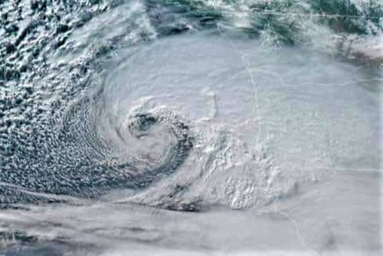
~11 am 11/26: Here's a satellite view of the "bomb cyclone" that will be moving into the area over the next few hours. The pinkish/redish colors highlight the higher clouds that are made of ice. The white-ish colors indicate lower clouds made of water. Hope everyone is prepared for significant storm today!
We’re not in Kansas anymore Toto!! Do not underestimate the power of this storm! Stay home and do not travel unless necessary. Ace Hardwares roof peeling off and coming into our back parking lot.
Water Vapor Satellite Image – 7:35pm Tuesday, Nov. 26th
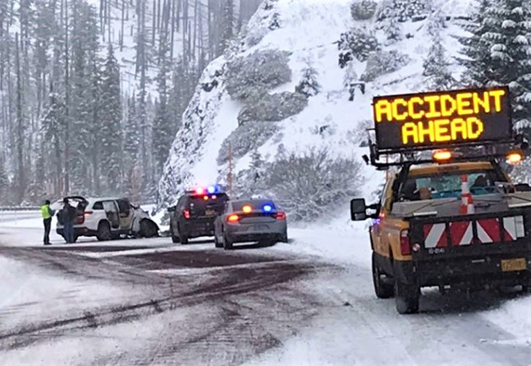
As the low pressure event moved inland, precipitation turned to snow at the higher peaks.Oregon Department of Transportation announced at 9:48pm Tuesday night, that Interstate 5 southbound into California was closed at Ashland for the night.
Due to low visibility and and blizzard conditions between Yreka and Mt. Shasta area, Caltrans requested ODOT close I-5 into California. Conditions will be reevaluated at or just before daybreak.


