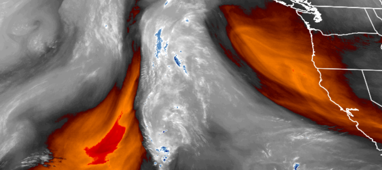
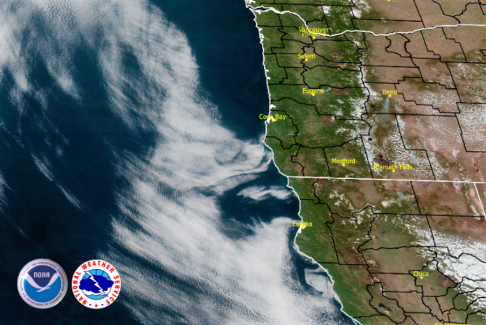
The high pressure system just off the coasts of southern Oregon and northern California will continue to be responsible for the production of more examples of a beautiful southern Oregon spring day, and will continue into the weekend.
The high pressure continues to push any chances for precipitation to the north and well south of the Oregon border, and the dry air will carry very low humidity levels making the warm air seem even warmer. Low lying areas should expect fog in the usual places, but most areas will continue to see clear skies turning to partly cloudy skies by Sunday evening.

Temperatures will be cool in the mornings ranging from the low mid 40’s to the lower 80’s inland, however on the coast lows will still be in the low 40’s, but high temperatures will only reach the low 70’s in some areas.
Brookings:

Crescent City:

Gold Beach:

Cave Junction:

Grants Pass:

Medford:


