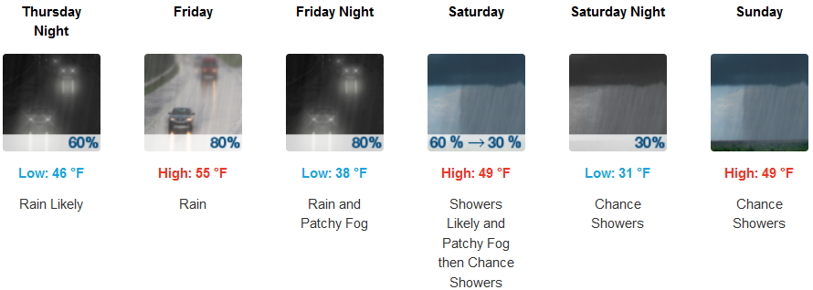
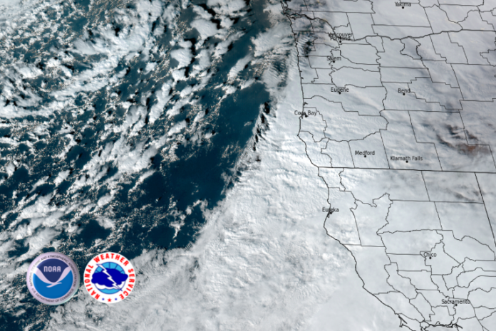
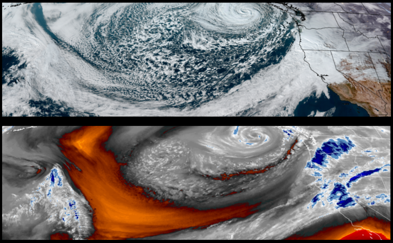
Another powerful Pacific storm system has moved into place and is positioned to impact Oregon, Washington and northern California to finish the work week and continue into the weekend with heavy rain, wind, high elevation snow and possible flooding. The accompanying long duration ‘atmospheric river’ is expected to bring excessive rainfall and flash flooding to southwest Oregon and northwest California through remainder of the week.
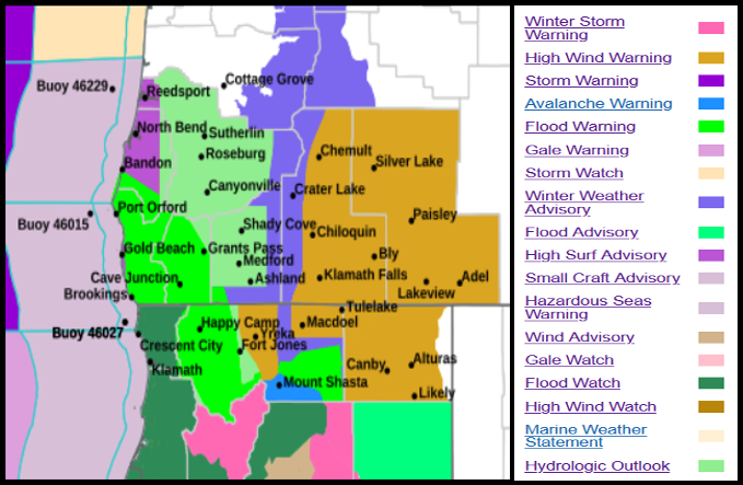
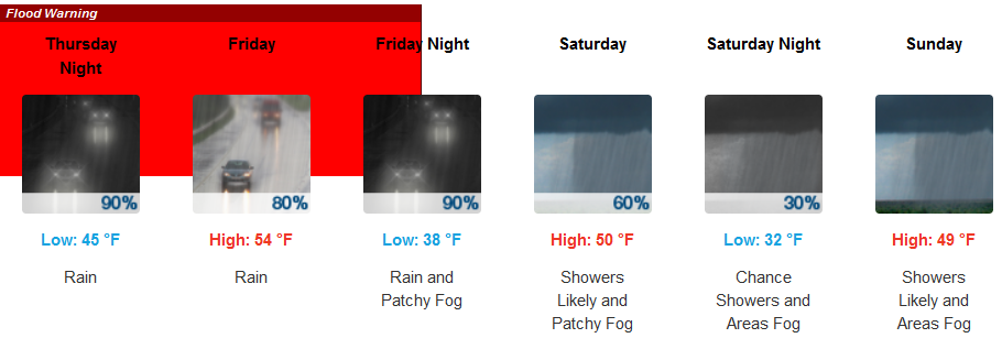
Inland areas are forecast to see rain with Flood Warnings issued by the National Weather Service, with cold temperatures possibly bringing snow elevations down to the 2500′ elevation over the weekend. High temperatures will be in the upper 40 to mid 50’s with lows getting into the low 30’s at the higher elevations.
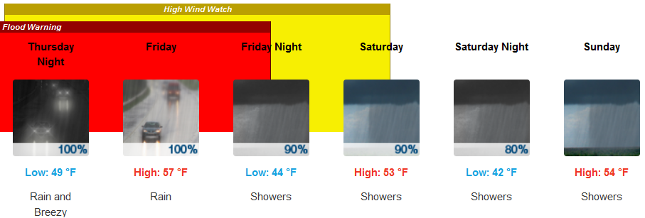
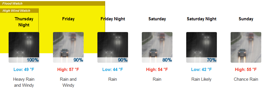
High Tide Watches and Flood Warnings have been issued by the National Weather Service for coastal areas as heavy rain and possible thunderstorms are forecast along the coast continuing through week end. Following the last weather system another two strong weather systems are poised to push onshore through the week end with lows in the mid to upper 40’s with afternoon highs in the mid to upper 40’s to low 50’s.
Brookings:
Crescent City:
Gold Beach:

Cave Junction:
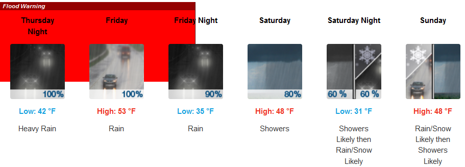
Grants Pass:
Medford:
