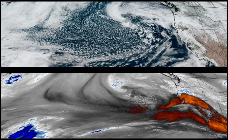


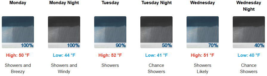
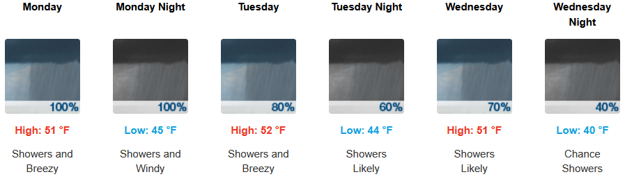
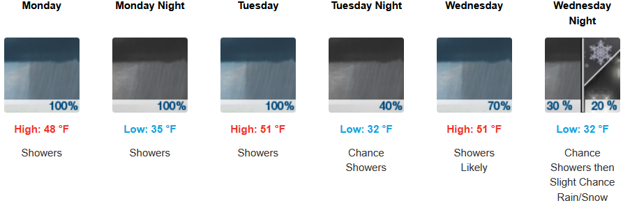
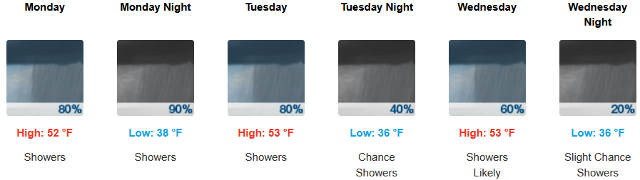
Another strong Pacific frontal system is forecast to bring rain and snow to much of southern Oregon and northern California with the heaviest rainfall expected along the coast of northern California and southern Oregon through Monday and into Tuesday.
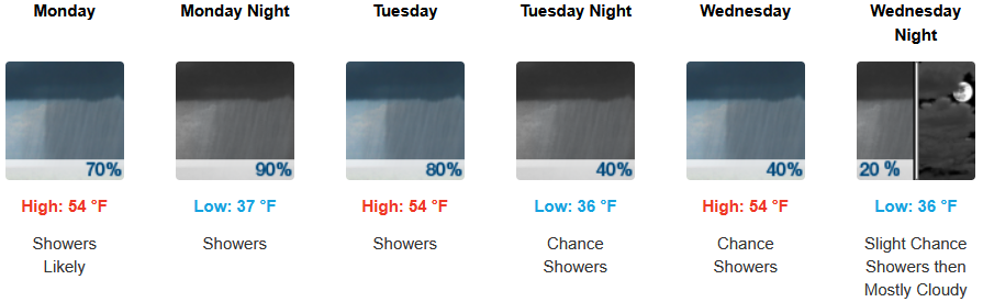
Inland areas are expected to see showers continuing into midweek as another weather system moves wet unstable air over the region with cold temperatures and possible snow above 3000′. Early morning lows are expected to be in the low to mid 30’s with highs likely reaching the low 50’s.
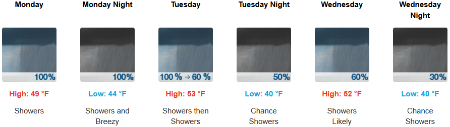
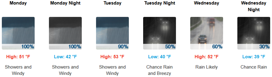
Along the coast, rain, heavy at times, is forecast to continue into midweek with possible thunderstorms as cold unstable air pushes onshore. Afternoon highs are expected to be in the low 50’s with early morning lows in the low 40’s.
Brookings:
Crescent City:
Gold Beach:
Port Orford:
Cave Junction:
Grants Pass:
Medford: