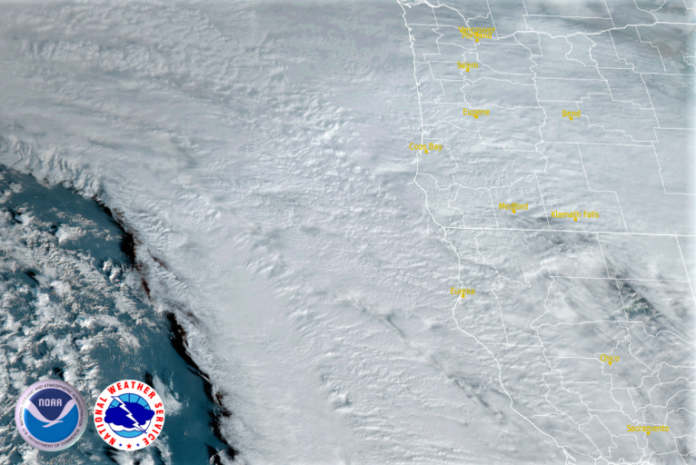
As this most recent round of wet weather begins to move inland, another low pressure system is developing off the coast of the Pacific Northwest, and is expected to move onshore as early as Wednesday, bringing more heavy precipitation and possible thunderstorms.
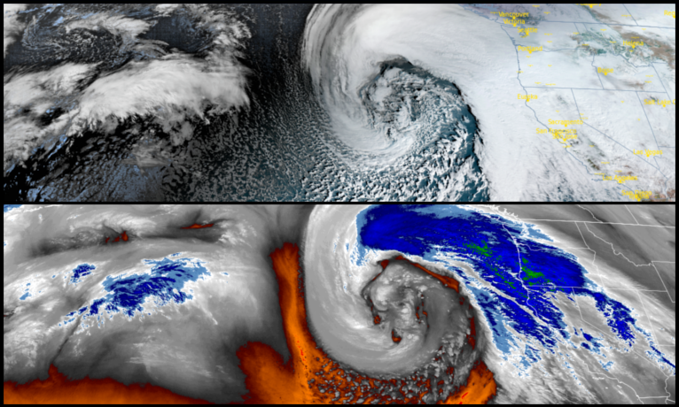
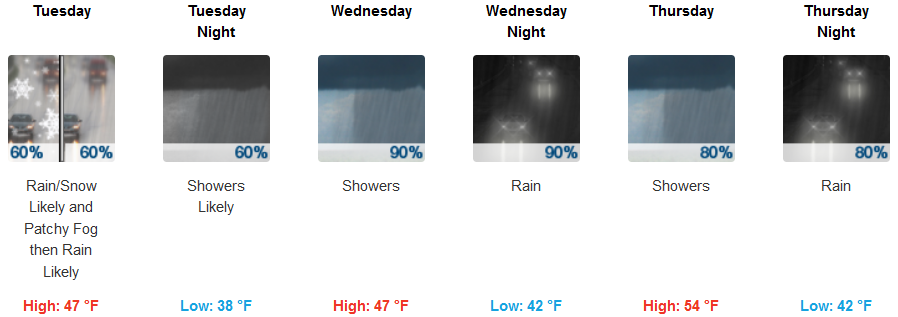
This new system is again expected to bring heavy rains, making landfall slightly further north than the systems experienced over the past week. Inland, rain is likely Tuesday morning, with snow levels around 3800ft. rising to 4500ft. in the afternoon. On Wednesday, precipitation is likely late Wednesday evening, with wind gusts as high as 30mph. Early morning lows will be in the upper 30’s to low 40’s, with highs in the mid to upper 50’s.
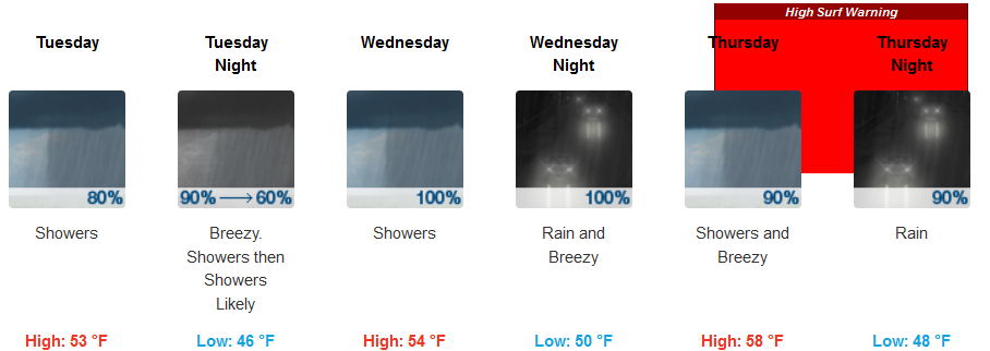
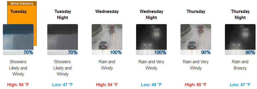
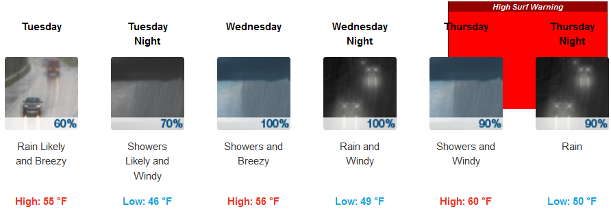
On the coast, rain is forecast from most of Tuesday, with a slight break before another powerful system moves into the region Wednesday. Wind and rain are expected to continue into Thursday with winds gusting up to 30mph. Temperatures are expected to stay relatively mild along the coast with lows in the low to mid 40’s and highs in the low to mid 50’s.
Brookings:
Crescent City:
Gold Beach:
Cave Junction:
Grants Pass:

Medford:


