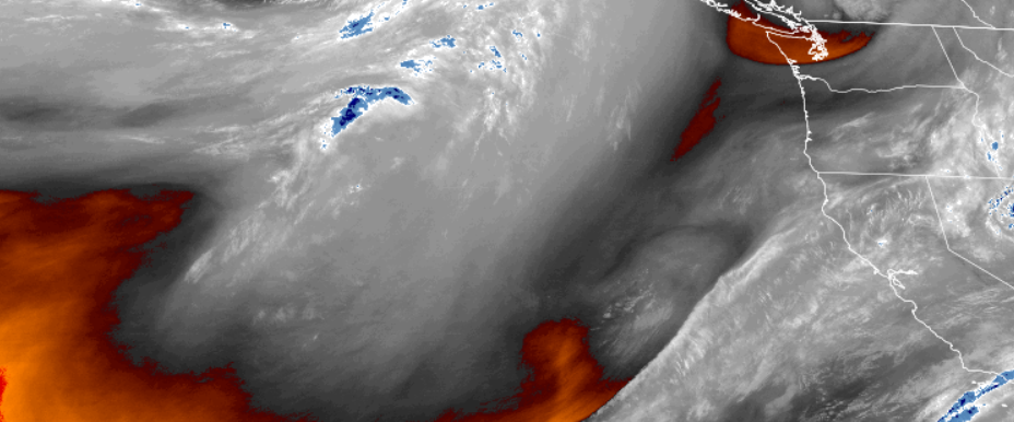
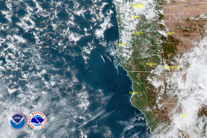
A deep upper level trough extending down from the north-northwest and combined with a slow moving cold front, is forecast to position moisture into the region moving into the week end.
As the system moves into the southern Oregon and northern California coast, winds are expected to increase ahead of the front, with gusts from 15 to 30mph possible.

Inland areas can expect localized morning fog in some areas and partly cloudy skies Thursday, with increasing cloudiness and the possibility of rain Sunday. High temperatures will stay in the low to mid 60’s, with morning lows in the low 40’s.
On the coast mostly clear skies Thursday and localized morning fog will wane going into Friday, as increased winds and clouds from an unstable air mass moves onshore, bringing with it the possibility of precipitation as early as Friday night. Low temperatures will be in the upper 40’s to low 50’s with high temperatures only reaching the mid to upper 50’s.
Brookings:

Crescent City:

Gold Beach:

Cave Junction:

Grants Pass:

Medford:


