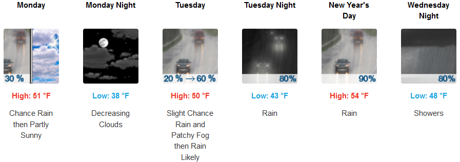
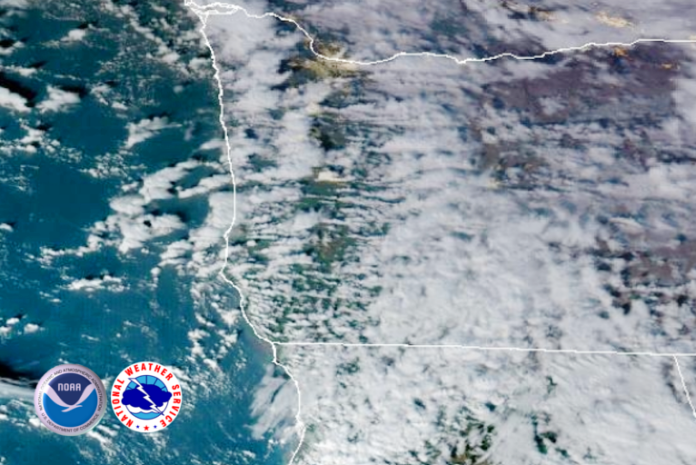
After a long series of strong weather systems impacted the region for the last few days, a frontal boundary has split the train of low pressure systems off the coast and cooler more stable air is forecast to keep significant precipitation from developing, however, localized showers are likely through the week.

Inland areas are forecast to see patchy early morning isolated areas of dense fog with chances of precipitation developing later in the week. As the cooler air moves into the area, freezing temperatures are expected early in the week with snow levels possibly dropping below 2000 ft. with temperatures getting as the low as the low 30’s with afternoon highs in the mid to upper 40’s with snow levels at the highest elevations.
Localized areas of rain continues to be in the forecast along the coast as cooler air continues to move onshore. Temperatures are forecast to be in the low to mid 40’s and afternoon highs in the low to mid 50’s.
Brookings:

Crescent City:

Gold Beach:

Port Orford:

Cave Junction:

Grants Pass:

Medford:


