

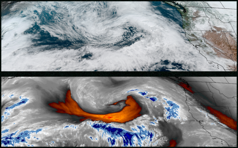
A low pressure system is expected to move into the region beginning Thursday, dropping down from the Gulf of Alaska bringing cold air, rain and snow forecast to continue through the weekend.
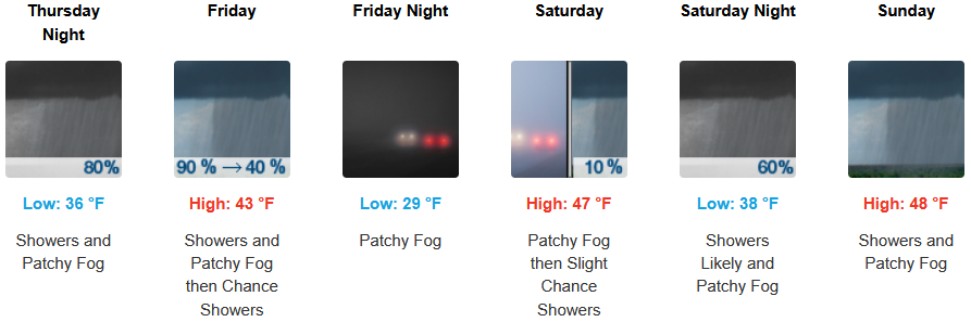
Inland areas are forecast to see rain and snow with snow levels dropping down to the 1300′ elevation as the low pressure system moves over the valley with precipitation beginning as early as Thursday morning and continuing through the weekend. Low temperatures are expected to range from the low to mid 30’s with afternoon highs only getting to the mid to upper 40’s.
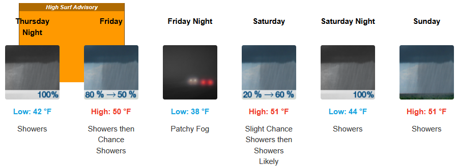
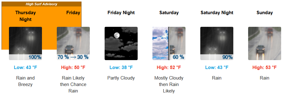
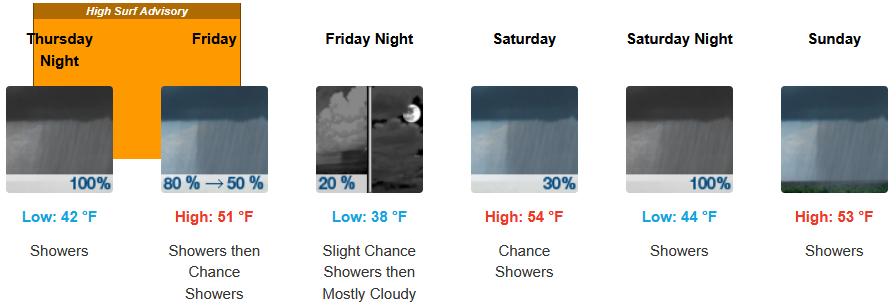
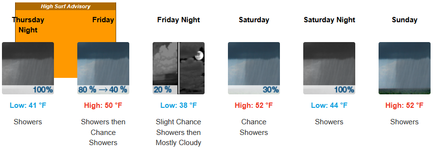
Along the coast, rain is forecast to begin very early Thursday morning with cold air continuing as the low pressure front moves onshore. Rain is expected to continue through the weekend with a short break possible Friday, Temperatures are forecast to be in the upper 40’s for afternoon highs with lows cooling to the upper 30’s to low 40’s through weekend.
Brookings:
Crescent City:
Gold Beach:
Port Orford:
Cave Junction:
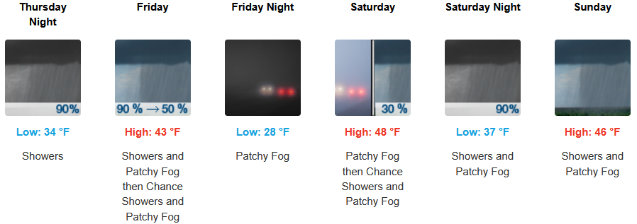
Grants Pass:
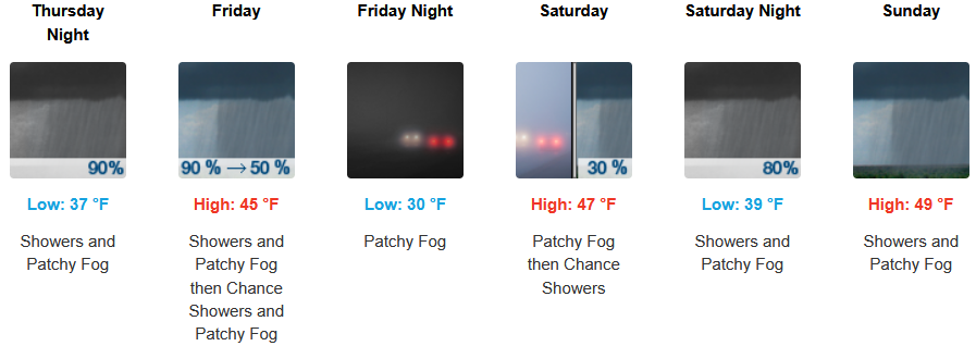
Medford: