

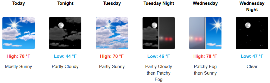
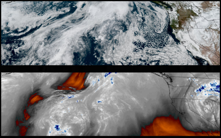
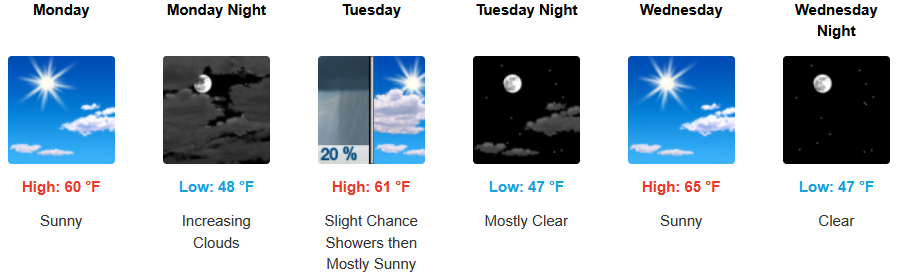
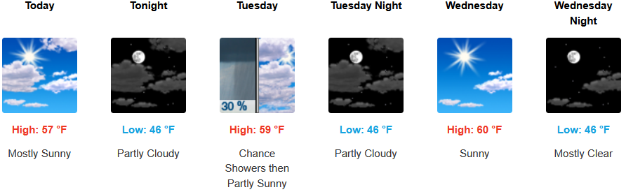
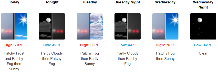
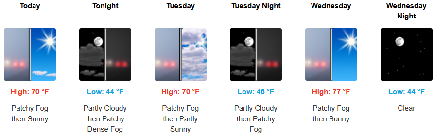
As the recent weak low pressure system that brought the last chances of precipitation circulates off to the east, a drying and warming trend is expected through mid-week before the next threat of precipitation moves over the region later in the work week.
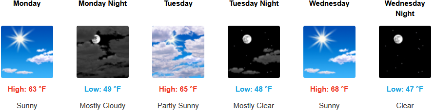
Inland areas are forecast to see mostly sunny to partly cloudy skies with the chance of early morning areas of localized fog. Early morning lows are expected to be in the mid 40’s, with highs likely reaching the upper 60’s to mid 70’s by mid week.
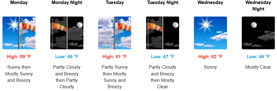
On the coast, an early morning marine layer is expected with breezy afternoon wind conditions possible for southern Oregon and northern California under mostly sunny skies along the immediate coastlines through midweek with afternoon highs expected to reach the mid 60’s, and early morning lows in the mid 40’s.
Brookings:
Crescent City:
Gold Beach:
Port Orford:
Cave Junction:
Grants Pass:
Medford: