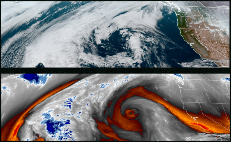
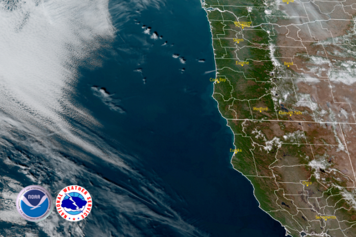
The high pressure off the California coast continues to circulate weather systems to the north as it begins to move further from the coast. Fog and an inversion layer will continue with the National Weather Service issuing Air Stagnation Warnings for bad air quality and air stagnation into the weekend.

Inland areas can expect to see areas of dense morning fog under clear skies clearing before noon. Cold morning low temperatures are expected to continue, ranging from the upper 20’s with afternoon highs only getting to the upper 40’s.
Along the coast, mostly clear skies are forecast along the coast into and through the weekend with localized areas of fog possible to end the work week. Temperatures are forecast to be in the mid to upper 50’s for afternoon highs with lows cooling to low to mid 40’s.
Brookings:

Crescent City:

Gold Beach:

Port Orford:

Cave Junction:

Grants Pass:

Medford:


