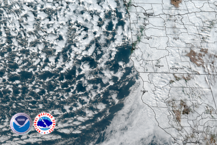
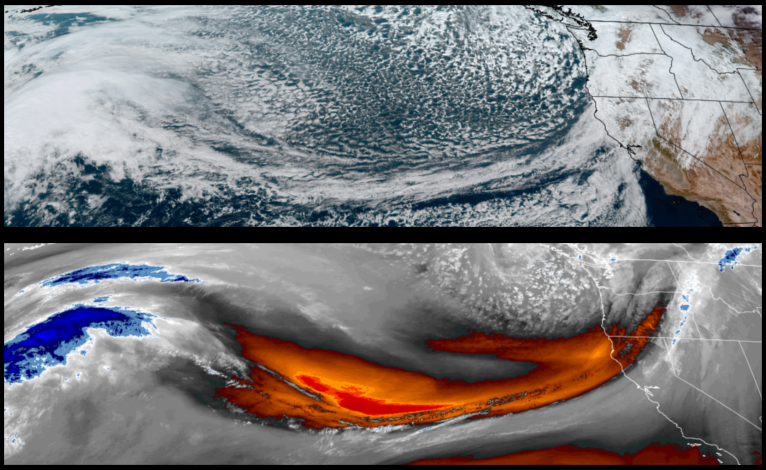
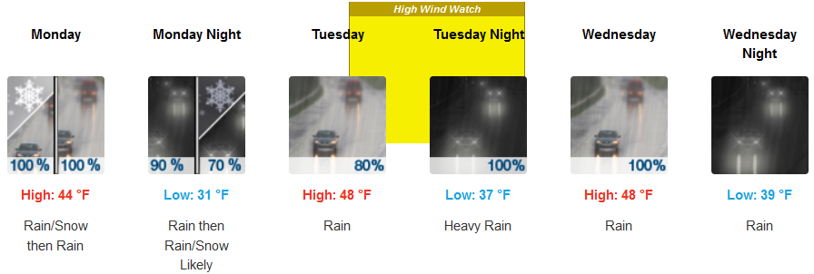
As the weather system responsible for the weekends precipitation moves off to the east, scattered localized showers are forecast to continue through Monday before a strong Atmospheric River will bring a prolonged period of moderate-to-heavy rainfall beginning on Tuesday afternoon and continuing into the weekend.
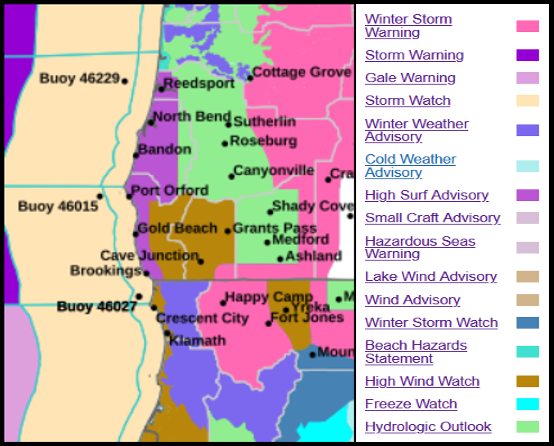
Inland areas are forecast to see rain, and cold temperatures possibly bringing snow elevations down to the 2500′ elevation to start the work week. High temperatures will be in the upper 40 to mid 50’s with lows getting into the low 30’s at the higher elevations.
Heavy rain and possible thunderstorms are forecast along the coast continuing through midweek. Cold air following the last weather system pushes onshore into mid week with lows in the mid to upper 30’s to low 40’s with afternoon highs in the mid to upper 40’s to low 50’s.
Brookings:

Crescent City:
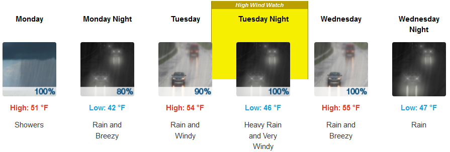
Gold Beach:

Cave Junction:
Grants Pass:

Medford:


