

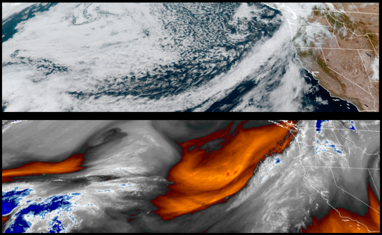
An upper level trough is forecast to continue an atmospheric river that has not yet pushed storm systems far enough to the south to effect the southern Oregon and northern California regions. However, some level of precipitation is expected to start the work week followed by colder unstable air into midweek.
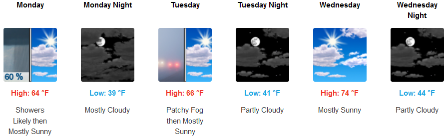
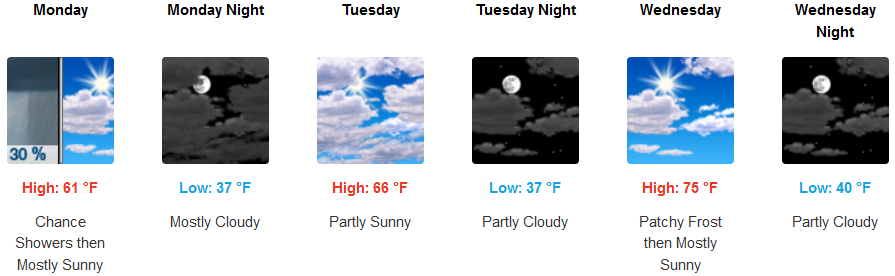
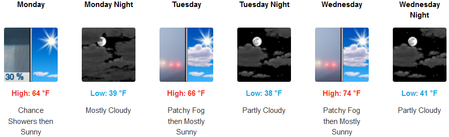
Chances of precipitation are forecast for inland areas Sunday evening through Monday morning followed by unsettled air and partly cloudy skies with early morning fog and cool temperatures into midweek. High temperatures will start in the mid 60’s getting up to the low 70’s as the work week continues with morning lows starting in the upper 30’s to the low 40’s.
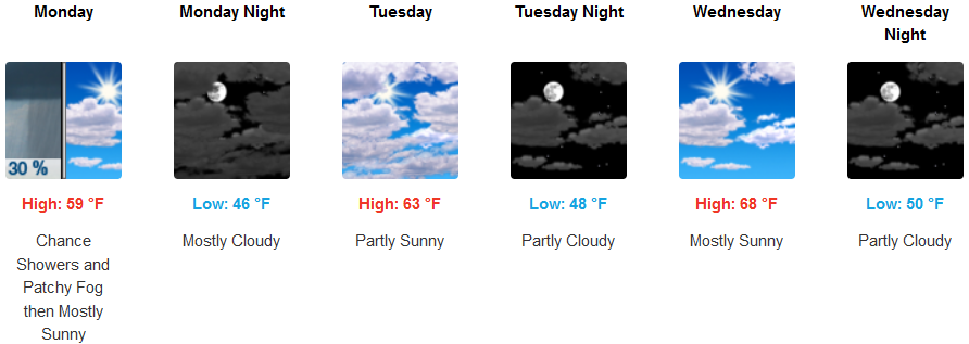
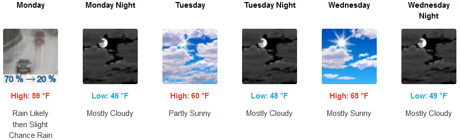
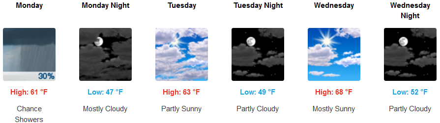
Precipitation is forecast along the coast after with increasing clouds and chances of showers before as the work week begins followed by partly cloudy skies into midweek. Afternoon highs will be in the low 60’s with early morning lows in the upper 40’s to low 50’s.
Brookings:
Crescent City:
Gold Beach:
Cave junction:
Grants Pass:
Medford: