

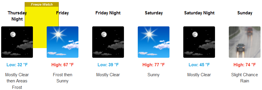
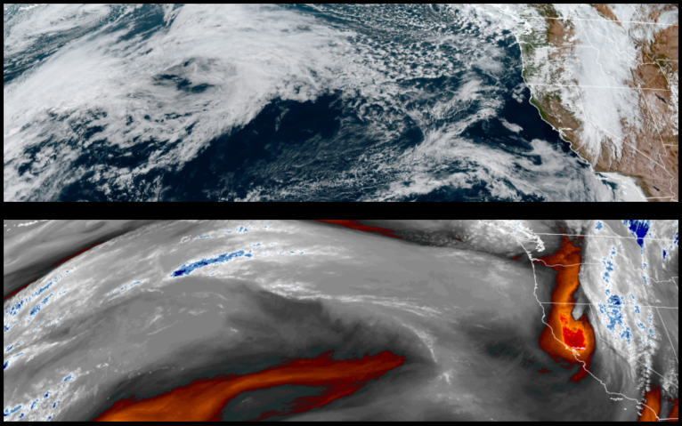
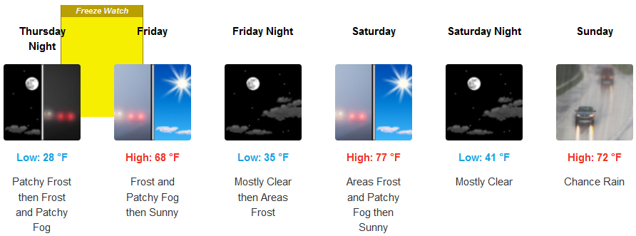
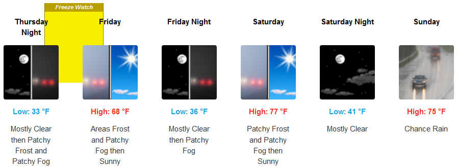
A fall weather pattern is forecast to end the work week and continue into the weekend as a couple of cold fronts move into the region with chances of precipitation and cold temperatures prompting Freeze Watches from the National Weather Service for inland valleys.
Slight chances of precipitation are forecast for inland areas Wednesday thru Thursday as unsettled air moves into the region with Freeze Watches from the National Weather Service for inland valleys early Thursday followed by patchy morning fog and mostly clear to partly cloudy afternoon. High temperatures will start in the low 60’s getting up to the low 70’s into the weekend and morning lows starting in the low 30’s to the mid 40’s.
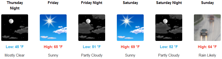
Unsettled air is forecast to bring increasing cloudiness and chances of localized showers before finishing the work week under partly cloudy skies before another low pressure system begins to move onshore late in the week end with more chances of precipitation. Afternoon highs will be in the 60’s into the week end, with early morning lows in the upper 40’s to low 50’s.
Brookings:
Crescent City:
Gold Beach:
Cave Junction:
Grants Pass:
Medford: