

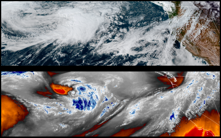
The ridge of high pressure that has been keeping weather systems from pushing down into southern Oregon and northern California has shown signs of weakening and an upper level low pressure system is expected to move over the area to start the weekend and with it a slight chance of measurable precipitation.
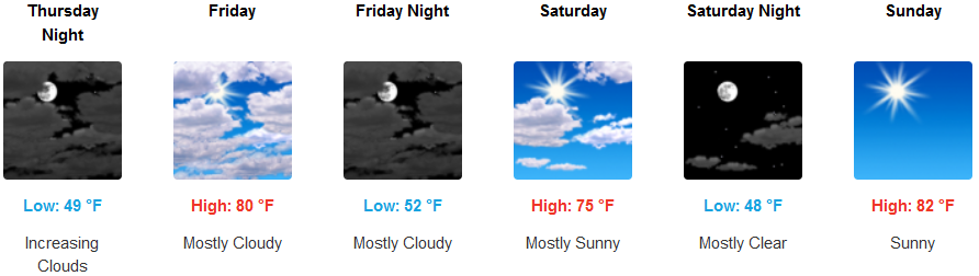
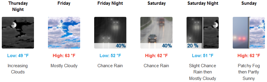
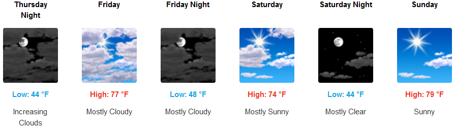
Mostly clear skies and warm temperatures are forecast to continue with increasing clouds and cooler temperatures as the weekend progresses with unsettled air moving over the area into Saturday. Afternoon highs are expected to only reach the low to mid 80’s, with lows in the upper 40’s.
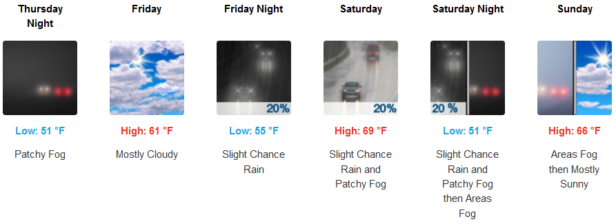
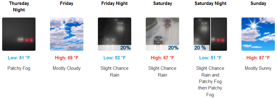
Coastal areas, patchy localized areas of early morning fog is forecast to continue under increasingly cloudy skies as unsettled air moves on shore as early as Friday, again, bring a slight possibility of precipitation. Afternoon highs will only reach the low to mid 60’s with overnight lows in the low 50’s.
Brookings:
Crescent City:
Gold Beach:
Cave Junction:
Grants Pass:

Medford: