

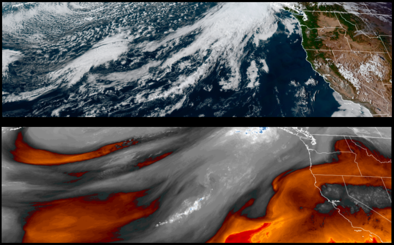
With record breaking late season high temperatures to the south, high pressure off the north coast is forecast to continue steering low pressure weather systems to the north and east. However, that ridge of high pressure is showing signs of weakening, bringing unsettled air into the region and the slight possibility of precipitation and cooler temperatures across the region midweek.
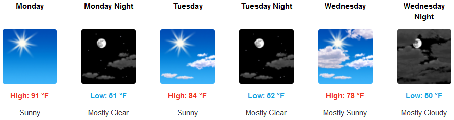
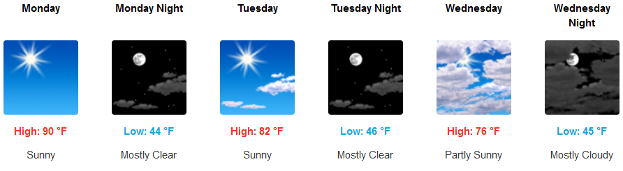
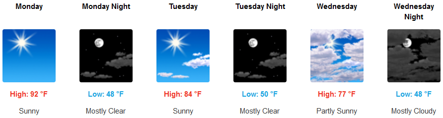
Mostly clear skies and warm temperatures are forecast to continue to start the work week with increasing clouds and cooler temperatures as the week progresses with unsettled air moving in later in the week. Afternoon highs are expected to be in the low to mid 90’s to start the work week, cooling to the upper 70’s for highs by midweek with lows in the low to mid 50’s.
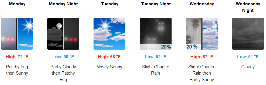
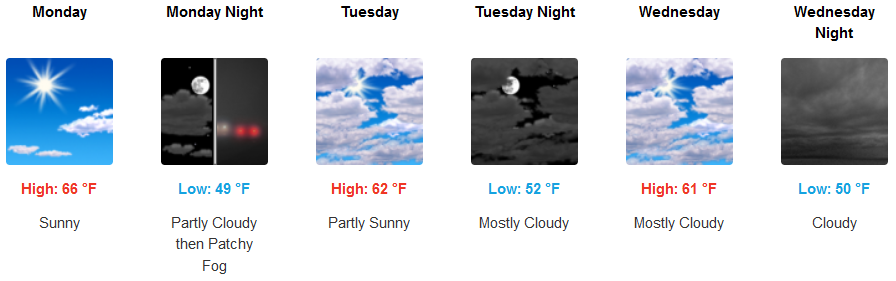
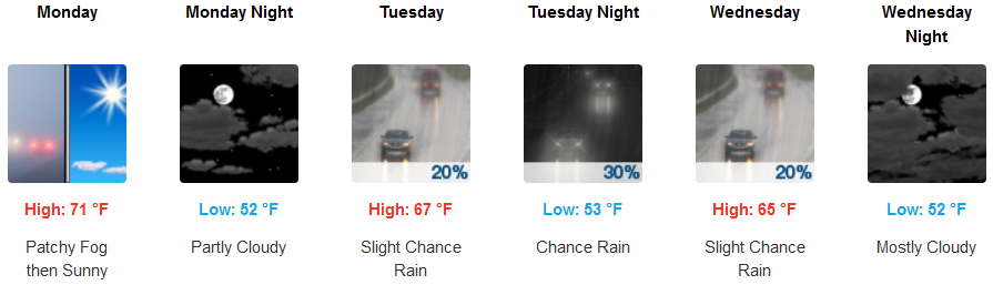
Along the coast, patchy localized areas of early morning fog will start the work week under mostly sunny skies as unsettled air moves on shore midweek, again, bring a slight possibility of precipitation. Afternoon highs will start the week in the low 70’s in some locations, cooling to the low to mid 60’s for highs midweek, with overnight lows in the low 50’s.
Brookings:
Crescent City:
Gold Beach:
Cave Junction:
Grants Pass:
Medford: